Add your own picture and explain the route, parking, gates, paths or landmarks that help people find it.
Earn 5 points after the picture is checked and accepted.
Add your photo and local directionsShare what you foundWhat is recorded here
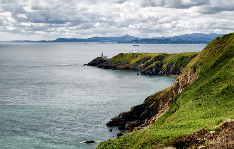
The natural knoll known as 'Dung Hill' is a regular oval platform (L 41m, Wth 30m) defined by a steep, exposed rock scarp. It occupies an imposing position with dramatic views onto Howth harbour and Dublin Bay. According to Westropp there had been evidence for revetment and dry-stone walling around the knoll in the late 19th-century (1922, 58-59). The headland was subject to gorse fire over the summer of 2013 revealing field walls to the SW and possible cairn material or collapsed revetment to the W. There is a cairn in the NW end of the monument (DU019-004001-).
Compiled by: Geraldine Stout
Updated by: Christine Baker
Date of upload: 29 January 2015
The monument record does not grant public access. Check the route and ask the landowner before entering private land.