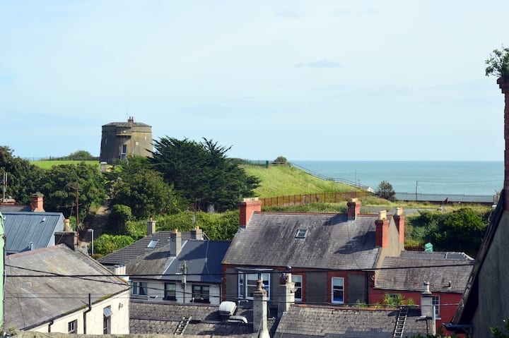
Add your own picture and explain the route, parking, gates, paths or landmarks that help people find it.
Earn 5 points after the picture is checked and accepted.
Add your photo and local directionsShare what you foundWhat is recorded here
Shown on the 1837 OS 6-inch map . St Mary Magdalen's Convent of Sisters of Charity, off Brookvale Road occupies the site of Donnybrook castle, an Elizabethan Mansion built by the Ussher's in 1560 (Ball 1903, 51-55). It was demolished in 1759 (Ball 1903, 54). An 18th-century drawing of the castle (op cit 52) shows a long rectangular, two-story building with a circular turret and lit by double-light, round-headed windows. Pre-development excavations in 1995 in the vicinity of the convent uncovered a gully (Wth 1.2m, D 0.3m) which formed part of a small, circular enclosure of probable, late medieval date (Mc Conway 1996, 13)).
The monument record does not grant public access. Check the route and ask the landowner before entering private land.