Add your own picture and explain the route, parking, gates, paths or landmarks that help people find it.
Earn 5 points after the picture is checked and accepted.
Add your photo and local directionsShare what you foundWhat is recorded here
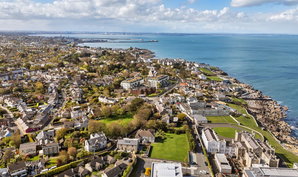
Located towards the western end of an east-west ridge with extensive views of the coast and Ireland's Eye. An aerial photograph (OS 8, 7654) shows cropmark evidence for a roughly circular univallate enclosure. Geophysical survey and two test excavations were undertaken at the site in advance of proposed development.
The geophysical revealed the presence of a large circular enclosure, (c. 70m in diam.) that abutted an unusual ‘avenue’ feature, defined by two parallel ditches leading away from an east-facing entrance. Initial archaeological testing (Licence no. 00E0732) consisted of a single trench situated diagonally across the site, that confirmed the presence of a ditch, entrance and archaeological material both internally and external to the main enclosure ditch. A decorated bone bead was recovered (Wallace, A. 2002, 115).
Further test excavation (Licence no. 07E0547) consisted of opening sections across the enclosure ditch and 'avenue'. The enclosure ditch ( c. 7m wide x 2m deep) was filled by a number of silty clay deposits that contained much charcoal, butchered animal bone and sea shell (oyster, mussel, razor shell, periwinkle, cockles etc.). The lower fills were waterlogged in nature and contained lenses of organic material including decayed wood and grass. A charcoal sample from the primary fill was dated to AD 687–887 (2 Sigma). A section was also excavated through the southern avenue ditch and this revealed a cut measuring c. 5m wide by 1.2m deep. It had a concave profile and was filled by silty/sandy clay deposits that contained occasional seashell, butchered animal bone and charcoal (Moriarty, C. 2008:477 www.excavations.ie)
According to the Portmarnock South LAP, the buffer zone for the monument will form part the open space within the green infrastructure network. The site is currently fenced within overgrown wasteland.
Compiled by: Geraldine Stout
Updated by: Christine Baker
Date of upload: 27 January 2015
The monument record does not grant public access. Check the route and ask the landowner before entering private land.