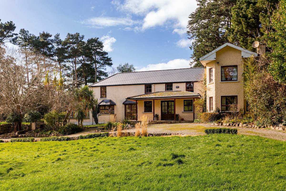
Add your own picture and explain the route, parking, gates, paths or landmarks that help people find it.
Earn 5 points after the picture is checked and accepted.
Add your photo and local directionsShare what you foundWhat is recorded here
Excavation (Licence nos. 06E0288ext. and 08E0032ext.) undertaken at the site in advance of the Ballycoolin road realignment indicated that it was used for domestic occupation and agricultural activity during the medieval period. Ditches, drains, gullies and cobbling were defined by boundary enclosures. Several possible structures were external to the enclosing elements. Local wares dominated the medieval pottery assemblage although there were some imported wares from England and France. A few items of personal dress were recovered including trapezoidal buckles, annular brooches and leather shoe fragments. The features and finds uncovered indicate the site was a large medieval settlement (c. 210m by 120m) on either side of Ballycoolin Road, around the site of Cappogue castle, occupied during the late 12th – 15th centuries (McQuade 2007).
Compiled by: Christine Baker
Date of upload: 6 February 2015
The monument record does not grant public access. Check the route and ask the landowner before entering private land.