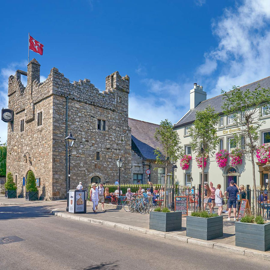
Add your own picture and explain the route, parking, gates, paths or landmarks that help people find it.
Earn 5 points after the picture is checked and accepted.
Add your photo and local directionsShare what you foundWhat is recorded here
In 1958 the well had dried up and showed only as a hollow in a field where it was marked by a whitethorn bush. The site is no longer venerated (Ó Danachair 1958, 77). Within a level field of pasture.
See attached photos taken by Caoimhín Ó Danachair, courtesy of and © National Folklore Collection, UCD. The Photographic Collection, F024.06.00383 accessible online at https://www.duchas.ie/en/cbeg/16743 and F024.06.00384 accessible online at https://www.duchas.ie/en/cbeg/35496.
Compiled by: Geraldine Stout
Updated by: Christine Baker
Revised by: Caimin O'Brien
Date of revised upload: 14 April 2023
The monument record does not grant public access. Check the route and ask the landowner before entering private land.