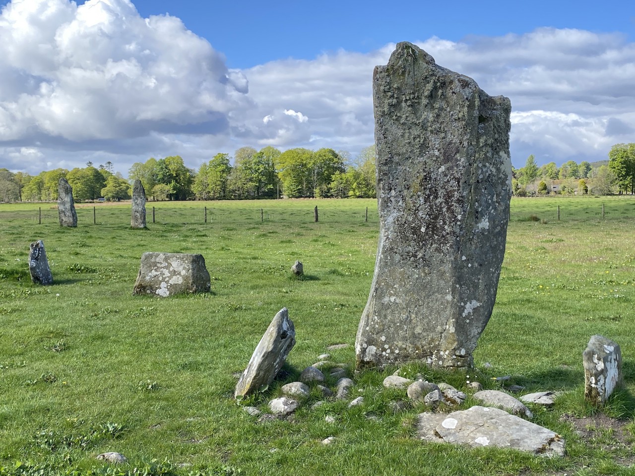
Add your own picture and explain the route, parking, gates, paths or landmarks that help people find it.
Earn 5 points after the picture is checked and accepted.
Add your photo and local directionsShare what you foundWhat is recorded here
Aerial photographs (GB89. AF.05 & GB89. AE.07) show cropmark of a circular enclosure defined by a fosse and with a small contiguous cellular enclosure on its southern edge. This inner enclosure is surrounded by a widely spaced outer concentric fosse; a curved fosse extends from the outer enclosure suggesting the existence of a contiguous enclosure to the south-east.
The site was subject to geophysical survey (Licence no. 11R0152) which detected linear features that mirrored the location of the monument but subsequent test excavation (Licence no. 12E0063) failed to identify the features conclusively (Kavanagh 2012, 24).
Compiled by: Geraldine Stout
Updated by: Christine Baker
Date of upload: 20 January 2015
The monument record does not grant public access. Check the route and ask the landowner before entering private land.