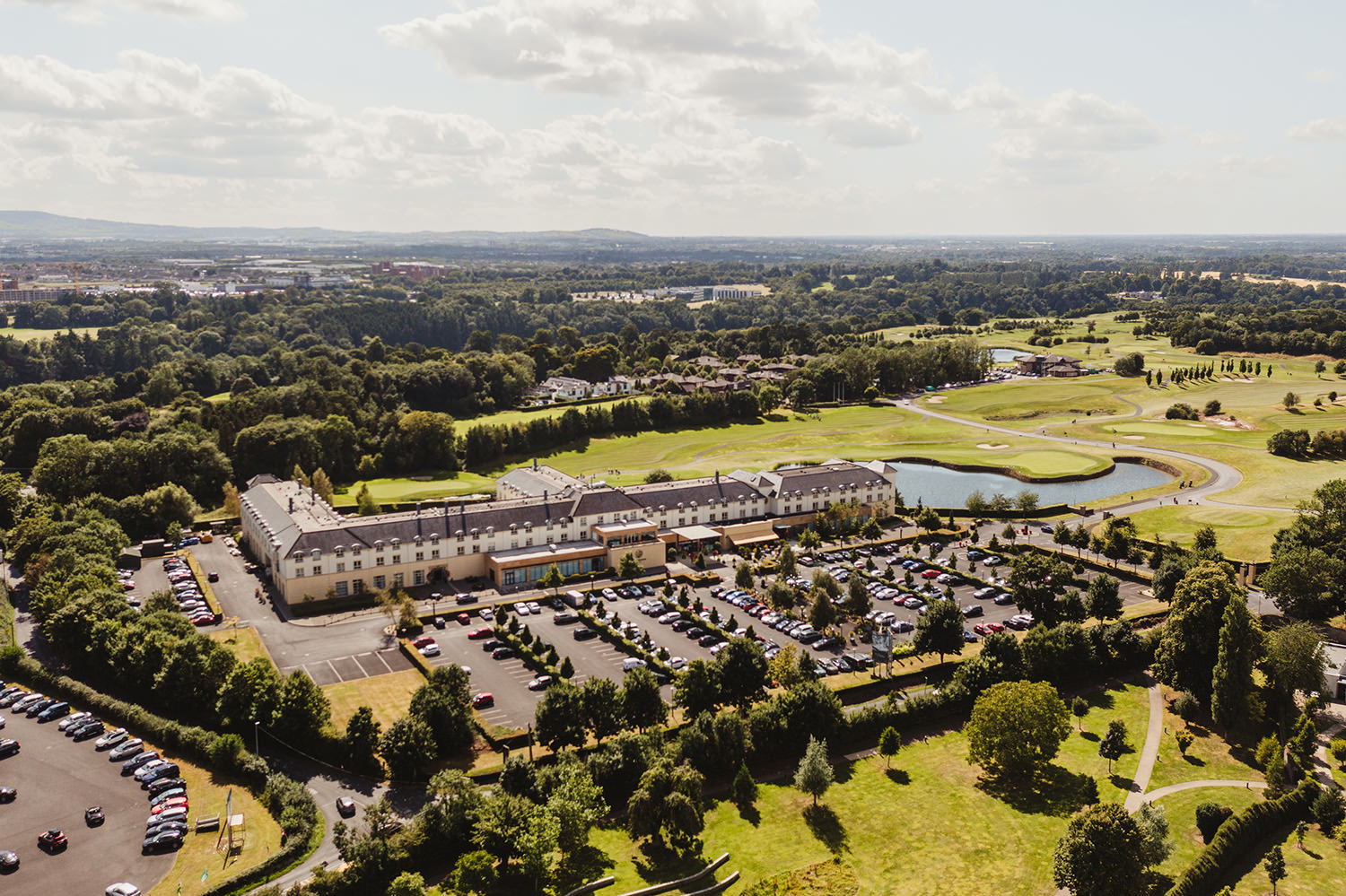
Add your own picture and explain the route, parking, gates, paths or landmarks that help people find it.
Earn 5 points after the picture is checked and accepted.
Add your photo and local directionsShare what you foundWhat is recorded here
There is a raised oval area (dims. L 50m E-W, Wth.30m) formerly within the grounds of Coolmine House. According to Healy there were human bones exposed on the site (1974, 21). Traditionally associated with St. Machtus and believed to be the site of the 'white chapel' which went out of existence about 1490 (Ronan 1940, 188). In the list of the churches of the dioceses c. AD 1275, the Crede Mihi, the church of 'Culmyn' is mentioned. It is also mentioned in the Taxation of 1292 and 1294.
Now contained within the Blanchardstown Millennium Park. The site was subject to geophysical survey (Licence no. 09R195) in advance of the proposed Metro West. Remains of enclosure ditches and possible pit type features associated with the Coolmine Church (DU013-019001-) and graveyard (DU013-019002-) were identified. A sub-circular enclosure (c.50m diam. NS) and further ditch remains extending to the south and east were associated with possible burnt/fired features which may indicate hearths or kilns (Nicholls 2009, 14). A dog run was instated directly abutting the eastern limit of the oval area without archaeological supervision.
Compiled by: Geraldine Stout
Updated by: Christine Baker
Date of upload: 20 January 2015
The monument record does not grant public access. Check the route and ask the landowner before entering private land.