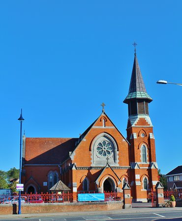
Add your own picture and explain the route, parking, gates, paths or landmarks that help people find it.
Earn 5 points after the picture is checked and accepted.
Add your photo and local directionsShare what you foundWhat is recorded here
Situated on high ground sloping down to north. The village green is to the south. This is a roughly square (Dim. c 40m) walled graveyard containing 18th-19th century memorials orientated E-W which are around all sides of the church (DU012-005001-) and residential tower (DU012-005002-). It is raised (1-1.5m) above the external ground level. part of the eastern graveyard wall has collapsed into back gardens of relatively new houses whose construction involved cut away of external ground level.
Compiled by: Geraldine Stout
Updated by: Christine Baker
Date of upload: 16 January 2015
The monument record does not grant public access. Check the route and ask the landowner before entering private land.