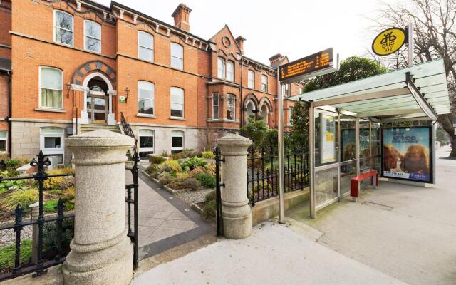
Add your own picture and explain the route, parking, gates, paths or landmarks that help people find it.
Earn 5 points after the picture is checked and accepted.
Add your photo and local directionsShare what you foundWhat is recorded here
Located within level tillage between the M1 and R132. A ring-ditch (diam. c. 12m) visible as a cropmark on an aerial photograph (CUCAP, BDS 49). Also visible on Bing (viewed 16/01/2015). Not visible at ground level.
Compiled by: Geraldine Stout
Updated by: Christine Baker
Date of upload: 16 January 2015
The monument record does not grant public access. Check the route and ask the landowner before entering private land.