Add your own picture and explain the route, parking, gates, paths or landmarks that help people find it.
Earn 5 points after the picture is checked and accepted.
Add your photo and local directionsShare what you foundWhat is recorded here
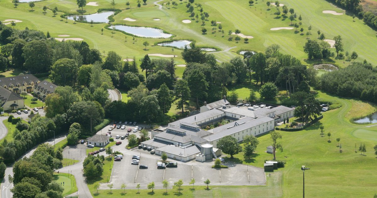
This site was excavated (Licence no. 09E0465) in advance of a golf course development. It consisted of an irregular burnt spread (3.6 x 5.6m) of charcoal rich silts with fire-cracked limestone and sandstone inclusions within a natural depression (0.37m depth) (Dehaene 2003, 3).
Compiled by: Christine Baker
Date of upload: 4 February 2015
The monument record does not grant public access. Check the route and ask the landowner before entering private land.