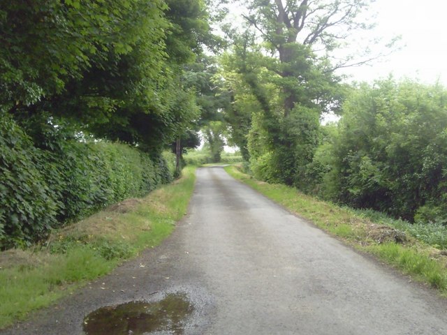
Add your own picture and explain the route, parking, gates, paths or landmarks that help people find it.
Earn 5 points after the picture is checked and accepted.
Add your photo and local directionsShare what you foundWhat is recorded here
This enclosure is located at the northern edge of a large field, bisected by a field boundary on ground sloping down towards the E and S to the Broadmeadow river below. The surrounding landscape is gently rolling terrain. Views are restricted to N and W by adjacent hedgerows but are extensive to the W and S. It is one of three cropmarks identified within this field (DU011-160---- and Du011-161----). First recorded as a positive cropmark in May 1991. Aerial photograph (GB91. DB. 02) shows cropmark of a circular enclosure defined by two concentric fosses. A more recent view of the monument from (Google Earth image 12 July 2013) shows only the S expression of the cropmark (O' Connell 2014).
Compiled by: Geraldine Stout
Updated by: Christine Baker and Margaret Keane
Date of upload: 09 January 2015
The monument record does not grant public access. Check the route and ask the landowner before entering private land.