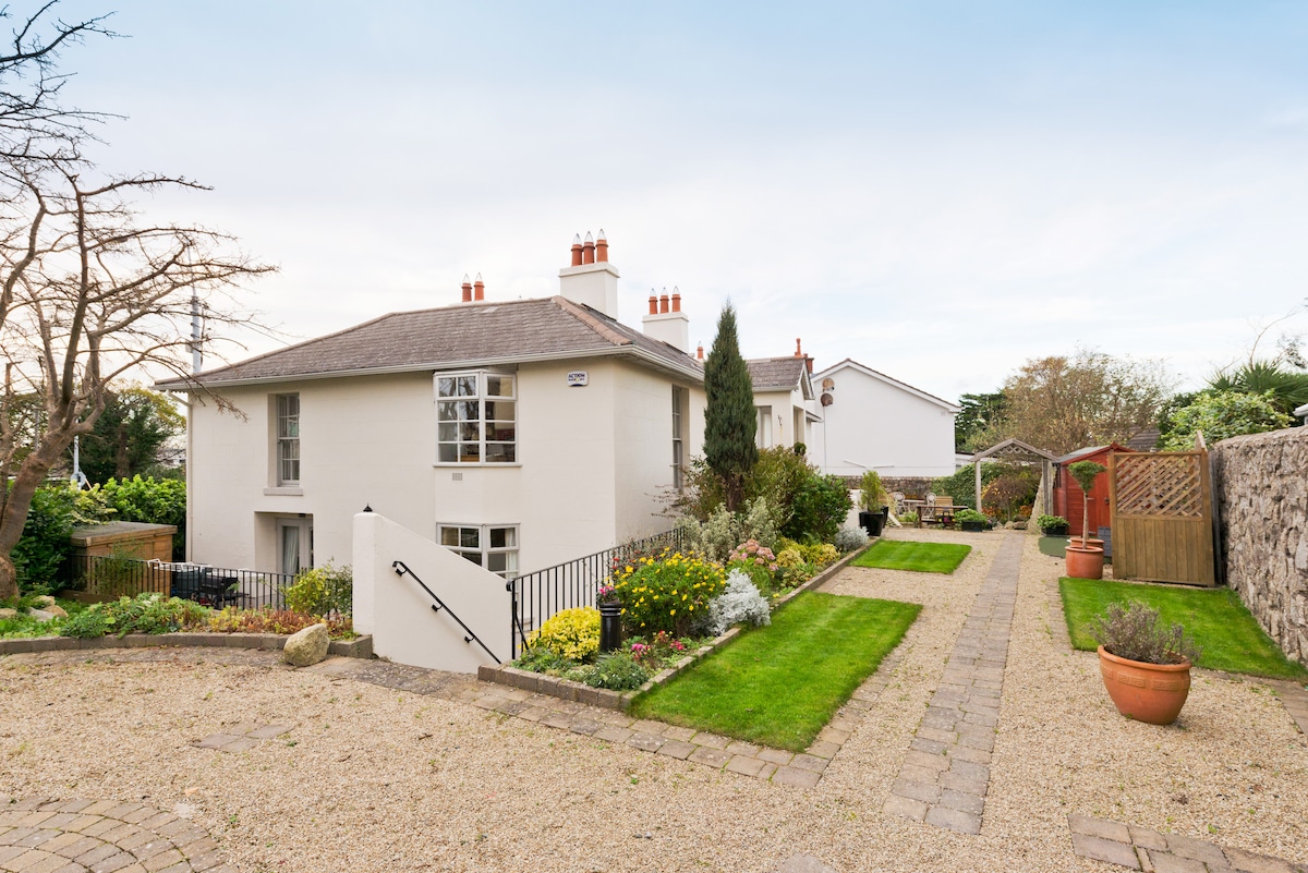
Add your own picture and explain the route, parking, gates, paths or landmarks that help people find it.
Earn 5 points after the picture is checked and accepted.
Add your photo and local directionsShare what you foundWhat is recorded here
The Down Survey (1655-6) map shows dwellings at the location marked 'Kilreesk House' in ruins on the 1986-8 OS 6-inch map. All that survives of this building are foundations of a two- storey house over a cellar. The remains lie to the rear of a bungalow off a cul de sac that runs through the townland.
Compiled by: Geraldine Stout
Date of upload: 26 August 2011
The monument record does not grant public access. Check the route and ask the landowner before entering private land.