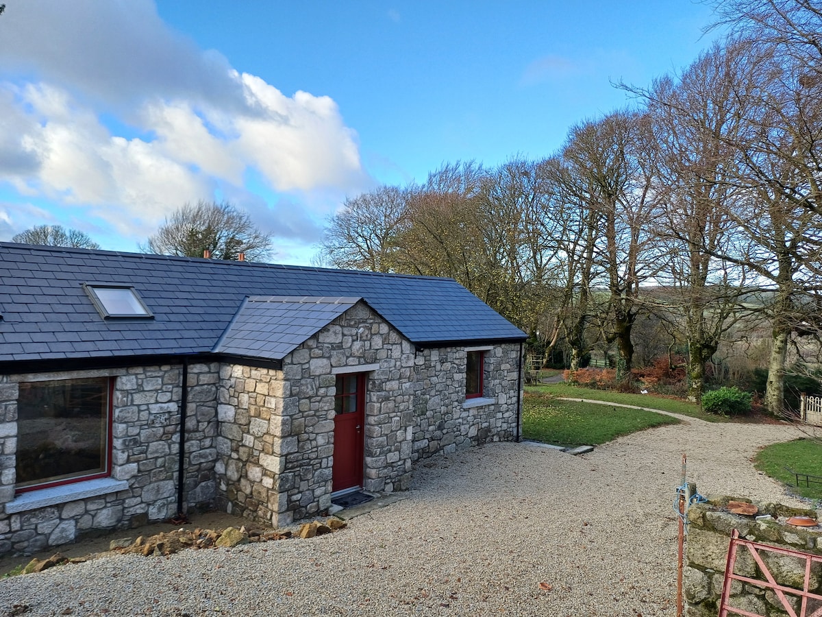
Add your own picture and explain the route, parking, gates, paths or landmarks that help people find it.
Earn 5 points after the picture is checked and accepted.
Add your photo and local directionsShare what you foundWhat is recorded here
Located north of the Broadmeadow river in the southeast of a large field under tillage. An aerial photograph taken in 1971 (FSI 3.513/512) shows a cropmark of a circular enclosure (diam c. 70m). It is also visible on OS colour vertical photography (OS 8 6923). Evident on Bing maps as substantial sub-circular enclosure extending from southern field boundary and enclosing a sub-rectangular enclosure. Number of undulations in this corner but definite oval rise (c.14m EW x c.20m NS) with occasional large stone evident. A number of sites in proximity to this site have been identified from Bing. Immediately north within the same field is a circular enclosure (DU011-112----) To the west in adjacent field is a newly identified ring ditch (DU011-110----) with another ring ditch in the next field west (DU011-111----).
Compiled by: Geraldine Stout
Updated by: Christine Baker
Date of upload: 03 January 2015
The monument record does not grant public access. Check the route and ask the landowner before entering private land.