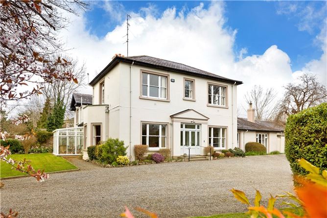
Add your own picture and explain the route, parking, gates, paths or landmarks that help people find it.
Earn 5 points after the picture is checked and accepted.
Add your photo and local directionsShare what you foundWhat is recorded here
In the field to the rear of the ruins of Mountstuart House (DU011-006002-) are low earthworks, which may represent house sites with associated field systems. The southern site comprises a sunken area, roughly sub-rectangular in plan, aligned E-W (L. c. 20m, Wth.15m) defined by a single bank (Wth 3.5m, H 0.5m). The north site has an irregular interior defined by a bank (Wth 4m, H 0.7m) and outer fosse (Wth 0.2m, D 0.25-30m).
Compiled by: Geraldine Stout
Updated by: Christine Baker
Date of upload: 02 January 2015
The monument record does not grant public access. Check the route and ask the landowner before entering private land.