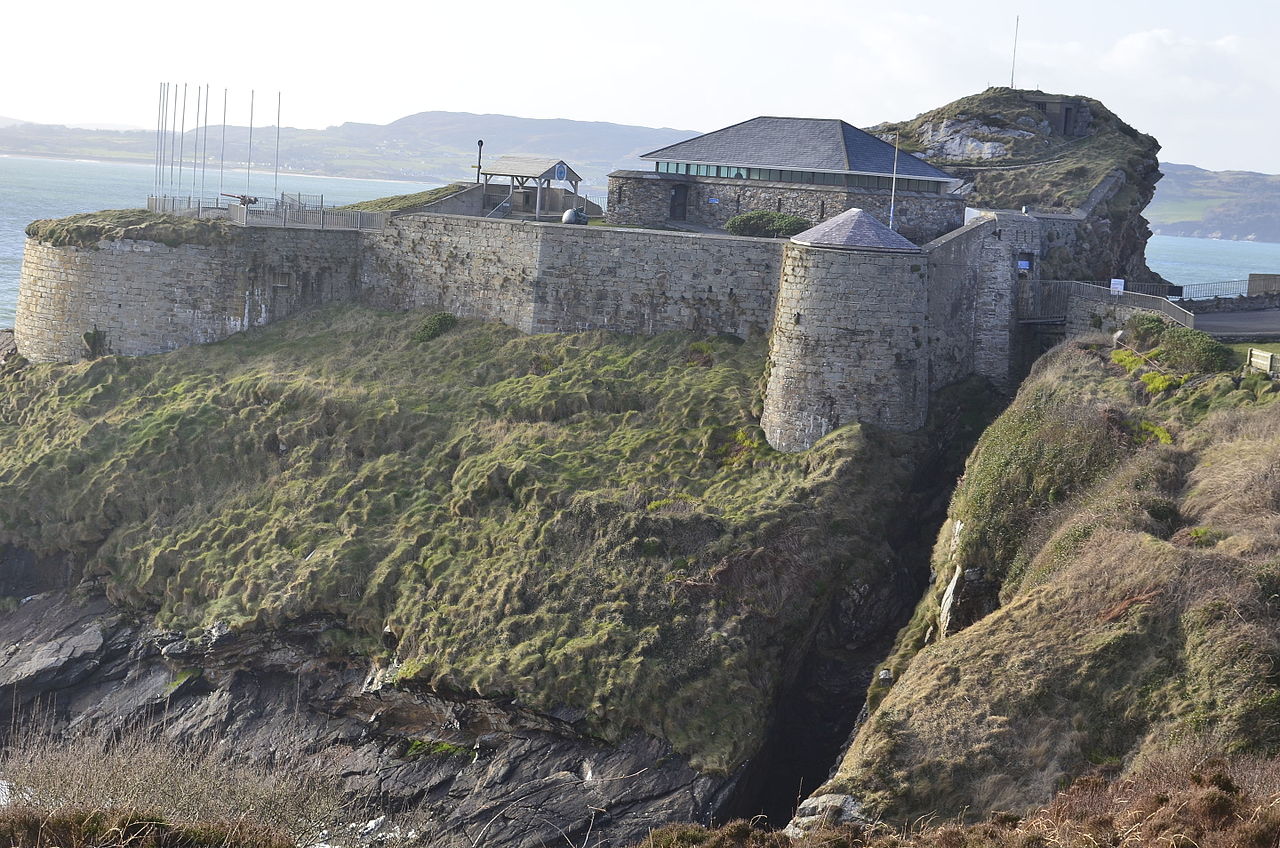
Add your own picture and explain the route, parking, gates, paths or landmarks that help people find it.
Earn 5 points after the picture is checked and accepted.
Add your photo and local directionsShare what you foundWhat is recorded here
Possible promontory fort described by Casey (2003, 16) as follows; ‘A broad lowlying headland on the southwestern shore of Lambay shows signs of having been cut off from the mainland by two filled-in ditches and levelled earthen banks 6m apart running straight across the wide isthmus. The exact nature of the feature is unclear; the most likely explanation is that this was simply a levelled field boundary. However, the existence of both features parallel to one another suggest that this may be the remains of widely-spaced defensive banks cutting off the promontory. The surrounding area consists of landscaped gardens and fertile pasture, and the site is overlooked by a medieval moated site some 130m inland. The interior is featureless and the sea is easily accessible from within.’
The monument record does not grant public access. Check the route and ask the landowner before entering private land.