Add your own picture and explain the route, parking, gates, paths or landmarks that help people find it.
Earn 5 points after the picture is checked and accepted.
Add your photo and local directionsShare what you foundWhat is recorded here
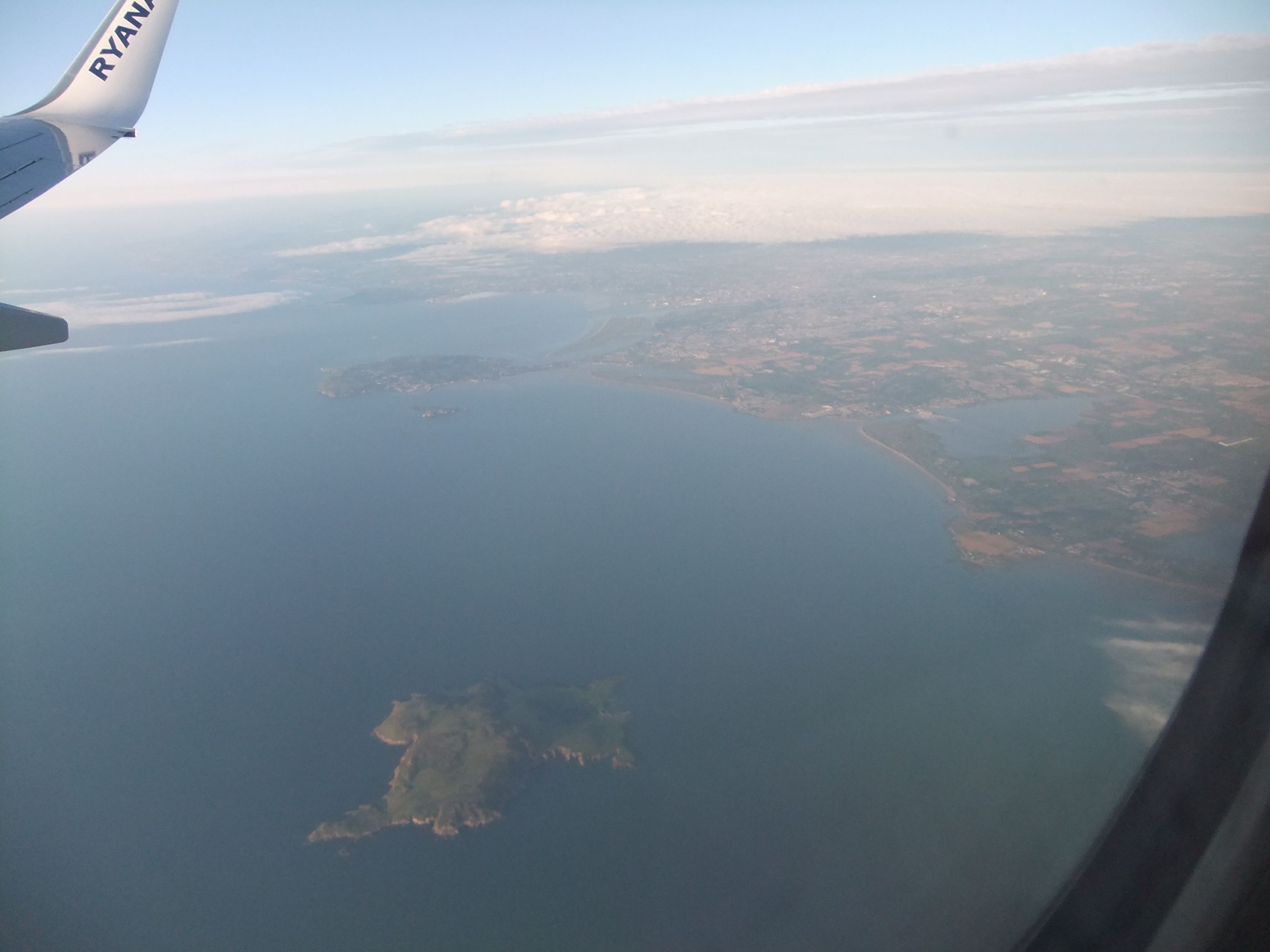
This circular cairn is situated in a prominent position on the N side of Lambay Island. It stands on the summit of a rock outcrop, the highest point on Lambay and overlooks the W end of the island. Its natural position exaggerates the scale of the monument (Diam. Base 27m, Top 4.10m , H 9m; ). The S face falls steeply and the N face falls to a natural ledge in the bedrock. It is grass covered with loose boulders visible. There are no kerbstones evident. It has a round profile with a narrow flat-top which may have been created when a trignometrical station was inserted (Westropp 1922, 70; Cooney 1993, 24-5). A transect of geophysical survey across the cairn did not reveal any internal structures (Cooney 2009, 160).
Compiled by: Geraldine Stout
Date of upload: 31 December 2014
The monument record does not grant public access. Check the route and ask the landowner before entering private land.