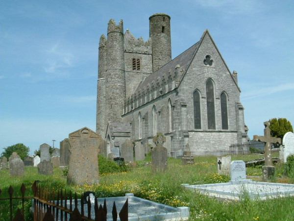
Add your own picture and explain the route, parking, gates, paths or landmarks that help people find it.
Earn 5 points after the picture is checked and accepted.
Add your photo and local directionsShare what you foundWhat is recorded here
This monument was first identified during an assessment (Licence no. 05E0161) of a greenfield site delimited by Church road to the S and Treen Lane to the W. At least five inhumations, all supine, extended and orientated E–W, with the head to the east were identified (Clarke 2005). Excavation was undertaken (Licence no. C010) in advance of road-widening. A 5m long portion of the ecclesiastical enclosure (DU008-010006-) was excavated and a ditch fill date of 42-600 AD recovered. External to the ditch eight E-W supine burials were excavated including a double burial containing two adult males. Both had been beheaded and an iron spearhead was protruding from the torso of one. The burial was dated to 410-570 AD (O’Connell 2009, 54).
Compiled by: Christine Baker
Date of upload: 5 February 2015
The monument record does not grant public access. Check the route and ask the landowner before entering private land.