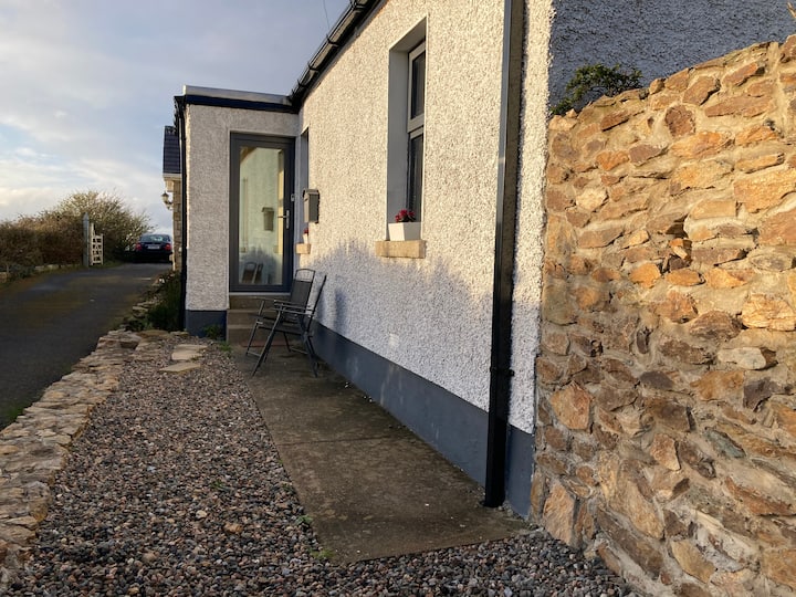
Add your own picture and explain the route, parking, gates, paths or landmarks that help people find it.
Earn 5 points after the picture is checked and accepted.
Add your photo and local directionsShare what you foundWhat is recorded here
Geophysical survey (Licence no. 13R023) was undertaken for route selection of the Greater Dublin Drainage Scheme. The results indicate an enclosure complex defined by a sub‐rectangular arrangement of magnetically strong linear ditch remains with peripheral curvilinear anomalies to the south‐east and weak trends to the east, south‐east, west, and south‐west. Combined these anomalies extend c.50m north/south by c.77m east/west (Nicholls 2013).
Compiled by: Christine Baker
Date of upload: 5 February 2015
The monument record does not grant public access. Check the route and ask the landowner before entering private land.