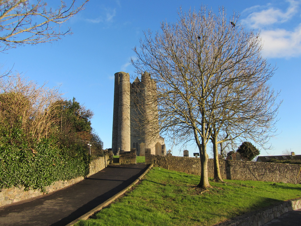
Add your own picture and explain the route, parking, gates, paths or landmarks that help people find it.
Earn 5 points after the picture is checked and accepted.
Add your photo and local directionsShare what you foundWhat is recorded here
Situated on top of a rise in a graveyard overlooking Rogerstown estuary. All that survives is part of the east gable which contains a wide pointed arched window. Has been stabilised in the past. Modern cross at apex. Distinct mound for nave of church c.17m EW x 8.5m NS. Graveplot attached to W facade of church. Vegetation growth on the top of the church wall. Wash out of mortar along the base. Some cracking evident. This is the chapel described in the Civil survey (1654-6) as a 'chapel of ease' at 'Whytestown' (Simington, 1945, 63). A recently erected plaque on the site reads 'Breton Mariners saved from a storm erected this chapel of St. Maur'.
Compiled by: Geraldine Stout
Updated by: Christine Baker
Date of upload: 19 December 2014
The monument record does not grant public access. Check the route and ask the landowner before entering private land.