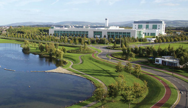
Add your own picture and explain the route, parking, gates, paths or landmarks that help people find it.
Earn 5 points after the picture is checked and accepted.
Add your photo and local directionsShare what you foundWhat is recorded here
A sub-rectangular building (7.5m x 3m) was identified through test-excavation (Licence no. 06E0799). It is located at the base of a hill slope with a possible historical stream route to the south. Orientated WNW-ESE it is defined by eight postholes and a slot trench (Frazer 2007, 31).
Compiled by: Christine Baker
Date of upload: 2 February 2015
The monument record does not grant public access. Check the route and ask the landowner before entering private land.