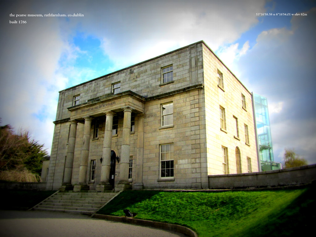
Add your own picture and explain the route, parking, gates, paths or landmarks that help people find it.
Earn 5 points after the picture is checked and accepted.
Add your photo and local directionsShare what you foundWhat is recorded here
There is a marked curve in the southern end of the graveyard wall (DU005-024004-) suggesting the possible existence of an early ecclesiastical enclosure. A geophysical survey carried out in 2003 revealed two concentric enclosures , field boundaries and ancillary enclosures (Nicholls, 2003). The inner enclosure (diam 100m) and an outer enclosure (diam 200m) (Mac Shamhráin 2004, 57) surrounds the extant church (DU005-024001-) and graveyard and is bisected by the road.
Compiled by: Geraldine Stout
Updated by: Christine Baker
Date of upload: 14 November 2014
The monument record does not grant public access. Check the route and ask the landowner before entering private land.