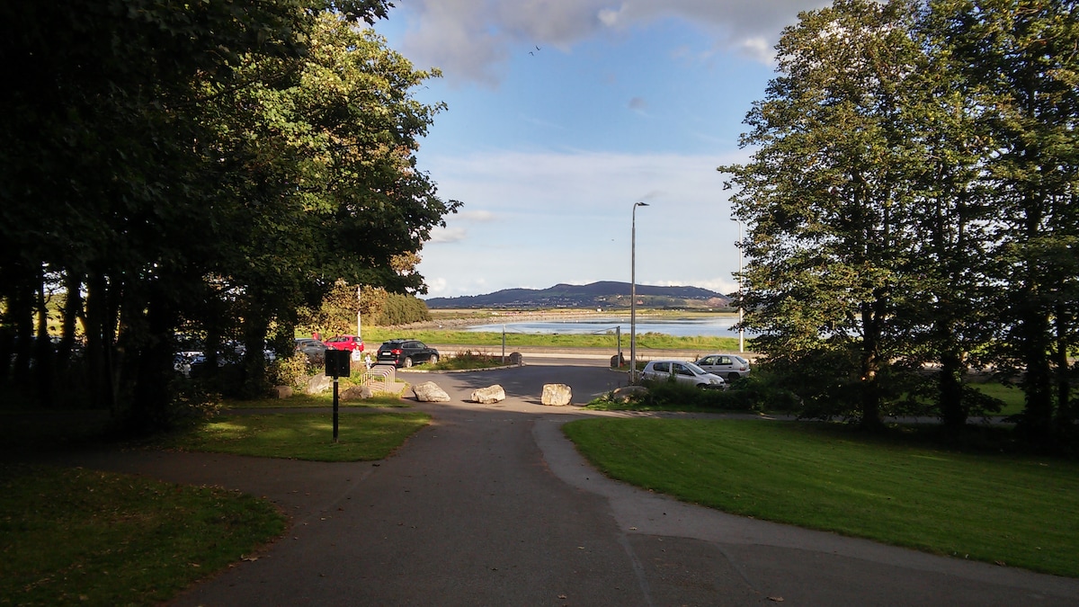
Add your own picture and explain the route, parking, gates, paths or landmarks that help people find it.
Earn 5 points after the picture is checked and accepted.
Add your photo and local directionsShare what you foundWhat is recorded here
Pre-development excavation of part of a complex of curvilinear and linear features (DU005-057008-) identified from aerial photography uncovered seven souterrains between the south-west and south-east quadrants, while other features may have been the remains of souterrains. The souterrains had narrow passages and 1–2 circular chambers each. Where there was evidence of construction, the circular chambers (2.3–3m in diameter) were corbelled and were 1–2m in height. The passages were roofed with flat lintels. In some cases the souterrains coincided with the ditch and it was clear that they cut into ditch fill and were later than the ditches (Carroll 2008, 72).
Compiled by: Geraldine Stout
Updated by: Christine Baker
Date of upload: 26 August 2011
The monument record does not grant public access. Check the route and ask the landowner before entering private land.