Add your own picture and explain the route, parking, gates, paths or landmarks that help people find it.
Earn 5 points after the picture is checked and accepted.
Add your photo and local directionsShare what you foundWhat is recorded here
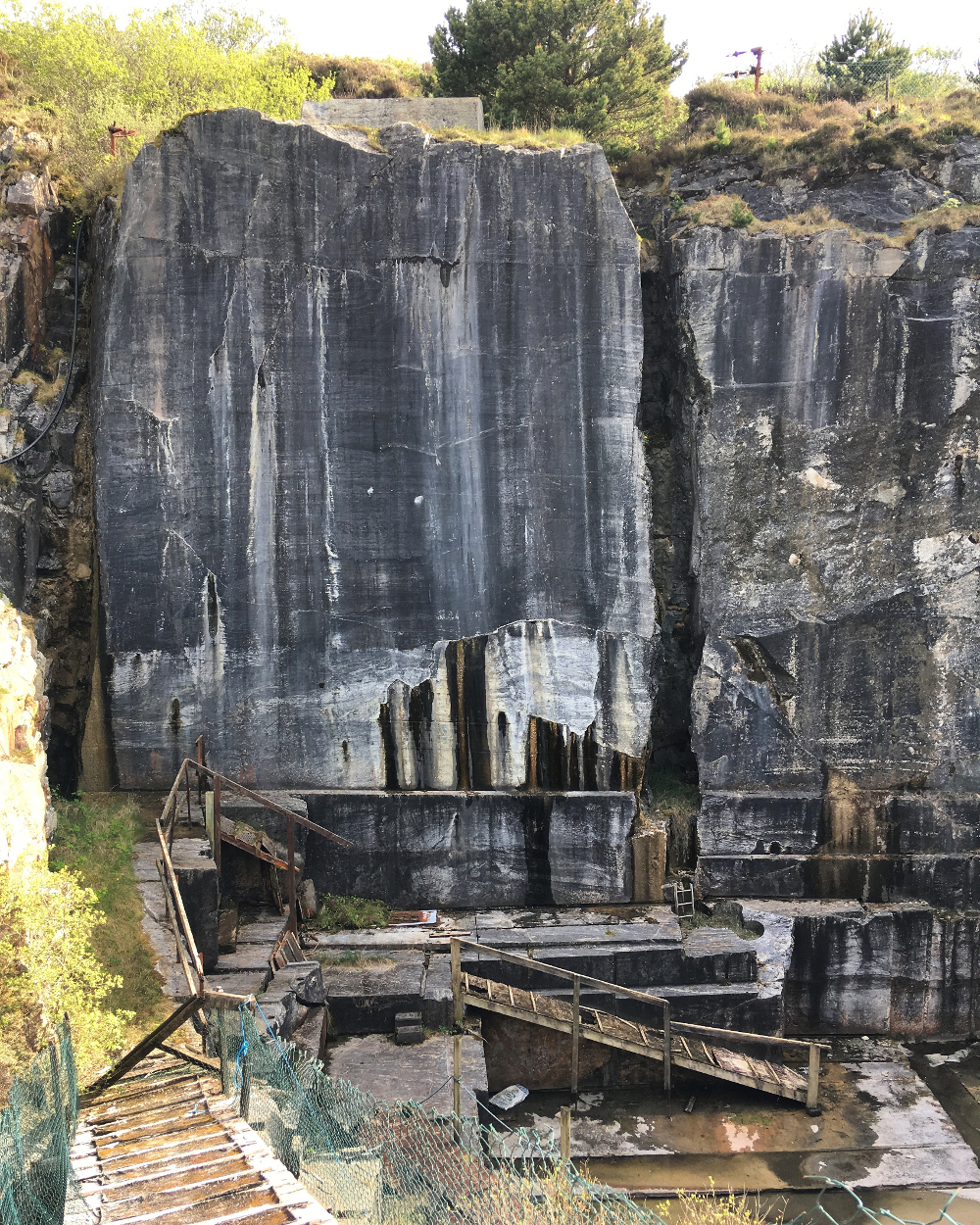
Small oval-shaped quarry (approx. diam. 60m) 65m to NW of Winter Lodge as depicted on the 1837 ed. OSi six-inch map. Not indicated on the last edition of the OSi six-inch map. No surface remains visible on the 2013-18 MapGenie orthoimage.
Compiled by: Caimin O'Brien
The monument record does not grant public access. Check the route and ask the landowner before entering private land.