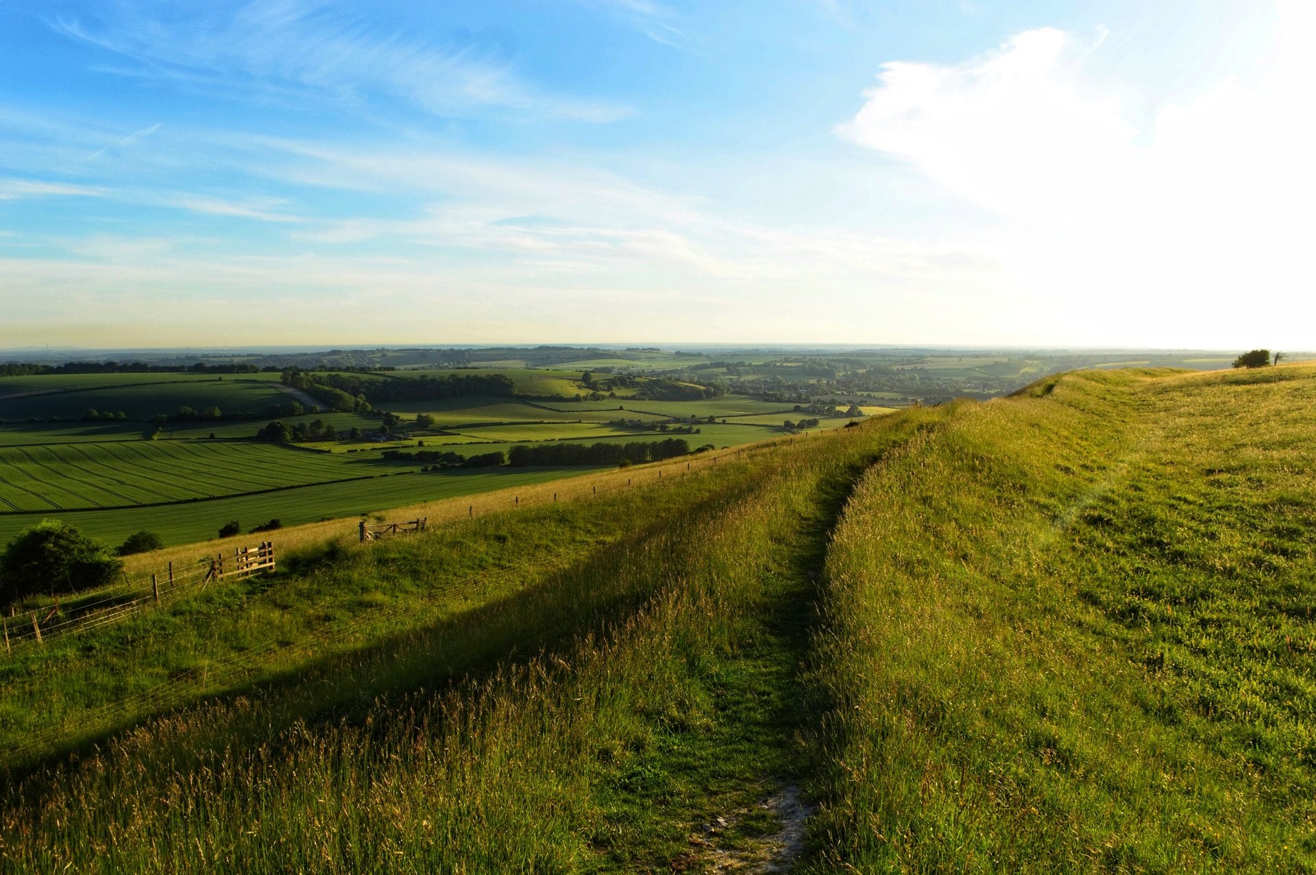
Add your own picture and explain the route, parking, gates, paths or landmarks that help people find it.
Earn 5 points after the picture is checked and accepted.
Add your photo and local directionsShare what you foundWhat is recorded here
Located on a south-facing slope, down from the crest of a ridge which rises to the NNE within a field are numerous cropmarks including several ring-ditches. There are restricted views upslope to the NNE, broad views to Knockbrack hill at the E where some of the barrows (DU004-01207--) in the barrow cemetery are visible, very extensive views S to the Dublin mountains and somewhat restricted aspect along the ridge to the W.
The cropmark of a ringfort (DU004-074----) was first identified by the landowner, Mr. Francis Macken, from his tractor as he applied fertilizer in a field of pasture in July 2018. This field has been known to the landowners as the kiln field. With the assistance of his nephew Mr. Warren Macken, a drone survey was commissioned from (Drone Services Ireland) which highlighted the monument and identified several other features in the same field. While linear and square features were observed there were also some clusters of ring-ditches noted from the drone image. These are most clearly visible at the E side of the field adjacent to the public road where several conjoined ring-ditches, including one larger ring-ditch linked to two subsidiary ring-ditches and another figure of 8 pair, again with a larger ring-ditch joined to a much smaller example. The ring-ditches range in size from 8 - 20m in diam. More indistinct ring-ditches are visible at the southern portion of the field with linear square features visible at the western side. Such is the complexity and spread of the features that the entire field has been included within the zone of notification.
Compiled by: Margaret Keane
Uploaded on: 9 January 2019
The monument record does not grant public access. Check the route and ask the landowner before entering private land.