Add your own picture and explain the route, parking, gates, paths or landmarks that help people find it.
Earn 5 points after the picture is checked and accepted.
Add your photo and local directionsShare what you foundWhat is recorded here
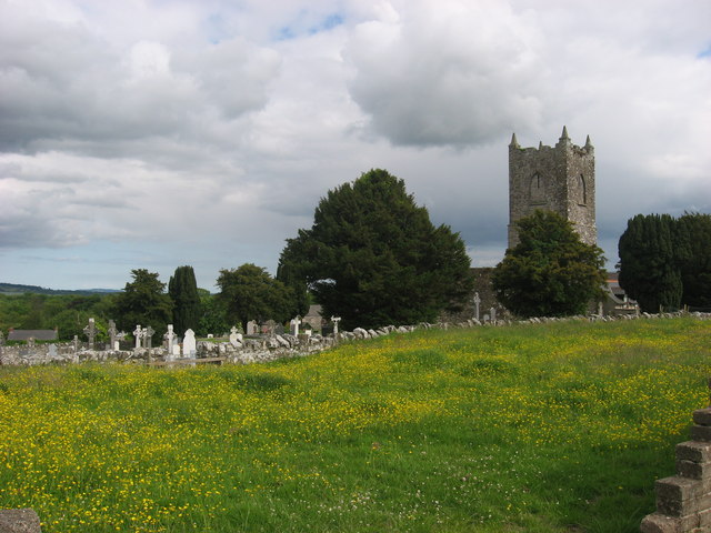
Situated on an elevated position in the village of Garristown. Large, roughly rectangular-shaped (dims. c. 73m N-S x 65m E-W) graveyard enclosed by a post 1700 wall with entrance gate in centre of N wall and a second gate in SE corner. A stone stile is present at NE and SE corners. Modern graveyard extension to W. A late 19th century church (1888) stands in the SW quadrant, possibly on the site of the medieval parish church of Garristown (DU011-011001-) (Lewis 1837 1, 650; Walsh 1888, 245). The oldest graveslabs appear in the S of the graveyard. Those with inscriptions date from the 17th to the 21st century. A fragment of a possible 15th-century effigial tomb (DU003-011004-) was uncovered in 1990 and is now housed in Garristown library. At least four rainwater chutes (DU003-011005-) possibly from the medieval church are now visible in the graveyard where they appear to have been reused as grave-markers. The graveyard is still in use and has been extended to the west.
Compiled by: Geraldine Stout
Updated by: Christine Baker
Revised by: Caimin O'Brien
Date of revised upload: 14 February 2023
The monument record does not grant public access. Check the route and ask the landowner before entering private land.