Add your own picture and explain the route, parking, gates, paths or landmarks that help people find it.
Earn 5 points after the picture is checked and accepted.
Add your photo and local directionsShare what you foundWhat is recorded here
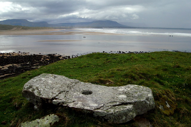
Internal diam. 16m N-S, 36m E-W. 'Doonfort' consists of a mainly natural mound surrounded by a fosse and slight indications of an outer bank. The height of the mound may have been increased from the digging of the fosse. There are numerous rises and hollows on the top of the mound many of which represent modern interference but some possibly indicating original structures. It is located on a cliff edge dropping 20m to the beach below. A holed stone at the SW of the mound is a modern feature.
The monument record does not grant public access. Check the route and ask the landowner before entering private land.