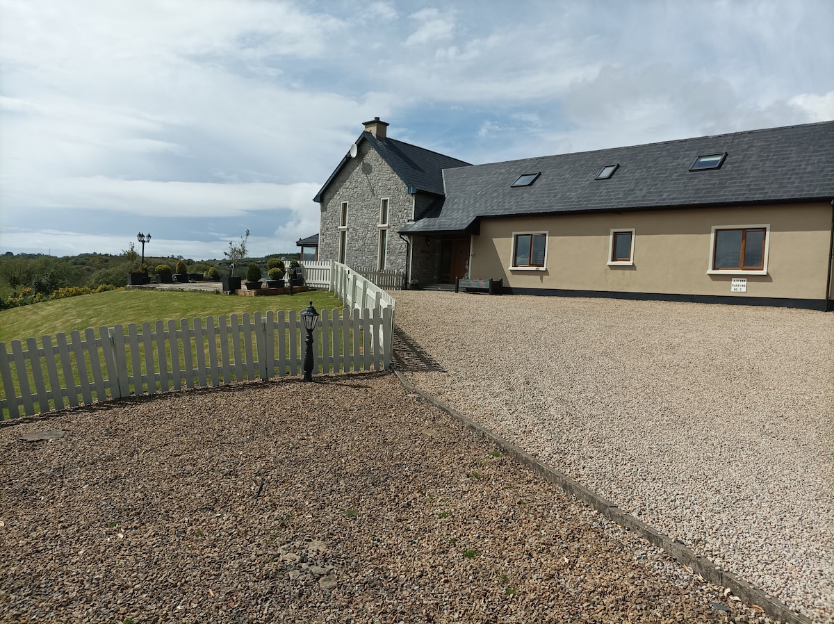
Add your own picture and explain the route, parking, gates, paths or landmarks that help people find it.
Earn 5 points after the picture is checked and accepted.
Add your photo and local directionsShare what you foundWhat is recorded here
There is a local tradition of a 'Danes Fort' in this vicinity although there is no visible evidence of it now. It is situated in poor pasture, halfway up a S facing slope at the E end of Glencolumbkille valley.
The above description was derived from the 'Archaeological Survey of County Donegal. A description of the field antiquities of the County from the Mesolithic Period to the 17th century.' Compiled by: Brian Lacey with Eamon Cody, Claire Cotter, Judy Cuppage, Noel Dunne, Vincent Hurley, Celie O'Rahilly, Paul Walsh and Seán Ó Nualláin (Lifford: Donegal County Council, 1983). In certain instances the entries have been revised and updated.
Date of upload: 22 September 2008
Excavation licence number 02E1738
Pre-construction testing was undertaken in the townland of Braade Upper, Glencolmcille, Co. Donegal. The works were carried out pursuant to a grant of planning permission to restore an existing ruined building, construct an extension and rebuild existing outhouse, with associated site works. The site of the proposed development is in the middle of an enclosure site, although there is no surface trace of the Recorded Monument.
Four test-trenches were opened. No archaeological remains were revealed in any of them. There was a total lack of subsurface evidence of the possible enclosure or any other archaeological features. (Excavations Bulletin 2002)
Mary Henry, 24 Queen Street, Clonmel, Co. Tipperary.
The monument record does not grant public access. Check the route and ask the landowner before entering private land.