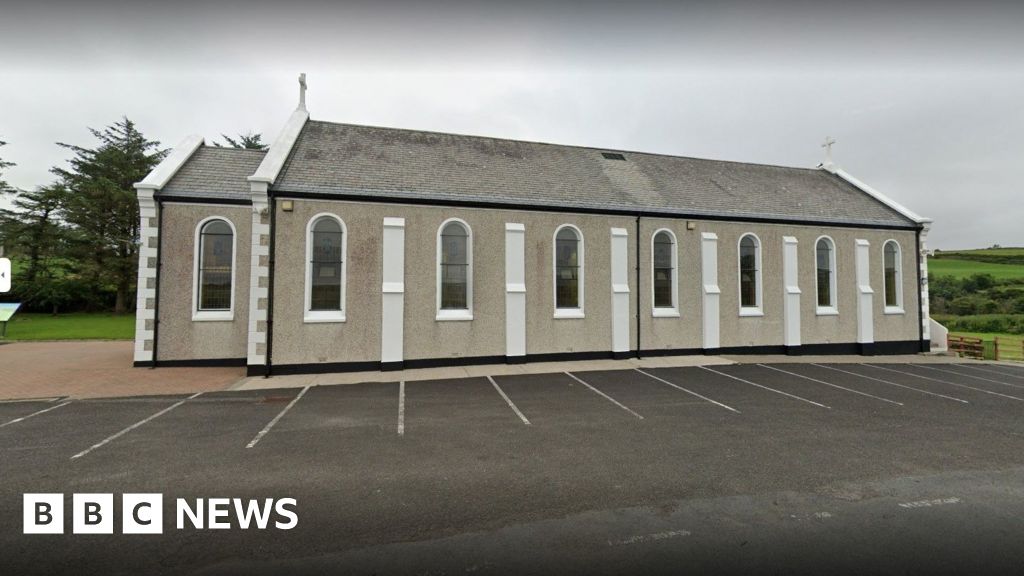
Add your own picture and explain the route, parking, gates, paths or landmarks that help people find it.
Earn 5 points after the picture is checked and accepted.
Add your photo and local directionsShare what you foundWhat is recorded here
A D-shaped area 32.2m N-S and 18.3m E-W is enclosed by a modern graveyard stone wall. Traces of older enclosing walls are visible in places. To the W of the graveyard (DG073-013004-) is St. Connell's cross (DG073-013001-). A crude cross-shaped slab, 1.57m in height, .32m wide at the base, .65m wide at the arms and 0.26m at the top. The cross is orientated E-W. At the junction of the arms and the shaft on the S face is a thin incised Latin cross with a circle at the centre. The top and base of this cross have T-bar terminals, while two bars cross the arms a little before their ends. The site is located on the E slope of Crockatee Hill in rough pasture and rock outcrop. The site over-looks the sea to the E. The hill is also known as Cashel Hill. The cross here has been eroded badly, particularly at the centre where the design is flaking off, since it was described in 1938 (Crozier and Lowry-Corry 1938, 221-2).
The above description was derived from the 'Archaeological Survey of County Donegal. A description of the field antiquities of the County from the Mesolithic Period to the 17th century.' Compiled by: Brian Lacey with Eamon Cody, Claire Cotter, Judy Cuppage, Noel Dunne, Vincent Hurley, Celie O'Rahilly, Paul Walsh and Seán Ó Nualláin (Lifford: Donegal County Council, 1983). In certain instances the entries have been revised and updated.
Date of upload: 22 September 2008
The monument record does not grant public access. Check the route and ask the landowner before entering private land.