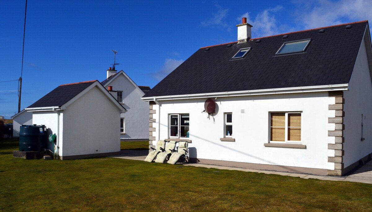
Add your own picture and explain the route, parking, gates, paths or landmarks that help people find it.
Earn 5 points after the picture is checked and accepted.
Add your photo and local directionsShare what you foundWhat is recorded here
There is no trace of the single-ringed enclosure shown on the 2nd edition of the OS 6-inch map. It was situated on the level top of a low hill in good land.
The development site is located c. 1.5km to the south east of Raphoe Village, Co. Donegal. The site was a greenfield site and the proposed development was a single bungalow and associated siteworks. The boundary of the proposed development was adjacent to the constraint area of a site of an enclosure (DG070–028----) with the resultant request for further information based upon excavated test-trenches. A separate site of a single house located to the south-east was the subject of a geophysical survey and test-trenching by Anne Carey in June 2007 (Excavations 2007, No. 377, 07E0490). The site is closer to the location of the enclosure (site). The testing revealed carried out by Eoin Sullivan of Gort Archaeology under licence No. 07E1175 that the geophysical anomalies were not of archaeological significance. The cartographic sources show a circular enclosure, probably a ringfort, on the mid-19th-century edition of the OS map. However, no other available maps show the presence of the enclosure. The site was visited prior to the excavation of the trenches and no visible traces of an enclosure were identifiable on the field surface. The site was assessed on the basis of five mechanically excavated test-trenches, each of which had similar stratigraphy, consisting of shallow topsoil overlying orange/brown subsoil that in turn overlay undisturbed natural slate. No features or materials of archaeological significance were encountered during the excavation of the test-trenches.
The above description was derived from the 'Archaeological Survey of County Donegal. A description of the field antiquities of the County from the Mesolithic Period to the 17th century.' Compiled by: Brian Lacey with Eamon Cody, Claire Cotter, Judy Cuppage, Noel Dunne, Vincent Hurley, Celie O'Rahilly, Paul Walsh and Seán Ó Nualláin (Lifford: Donegal County Council, 1983). In certain instances the entries have been revised and updated.
Compiled by Caimin O'Brien
Date of upload/revision: 18 November 2011
This remains an important historical record, but the official description says the monument is no longer visible or has been destroyed.
The monument record does not grant public access. Check the route and ask the landowner before entering private land.