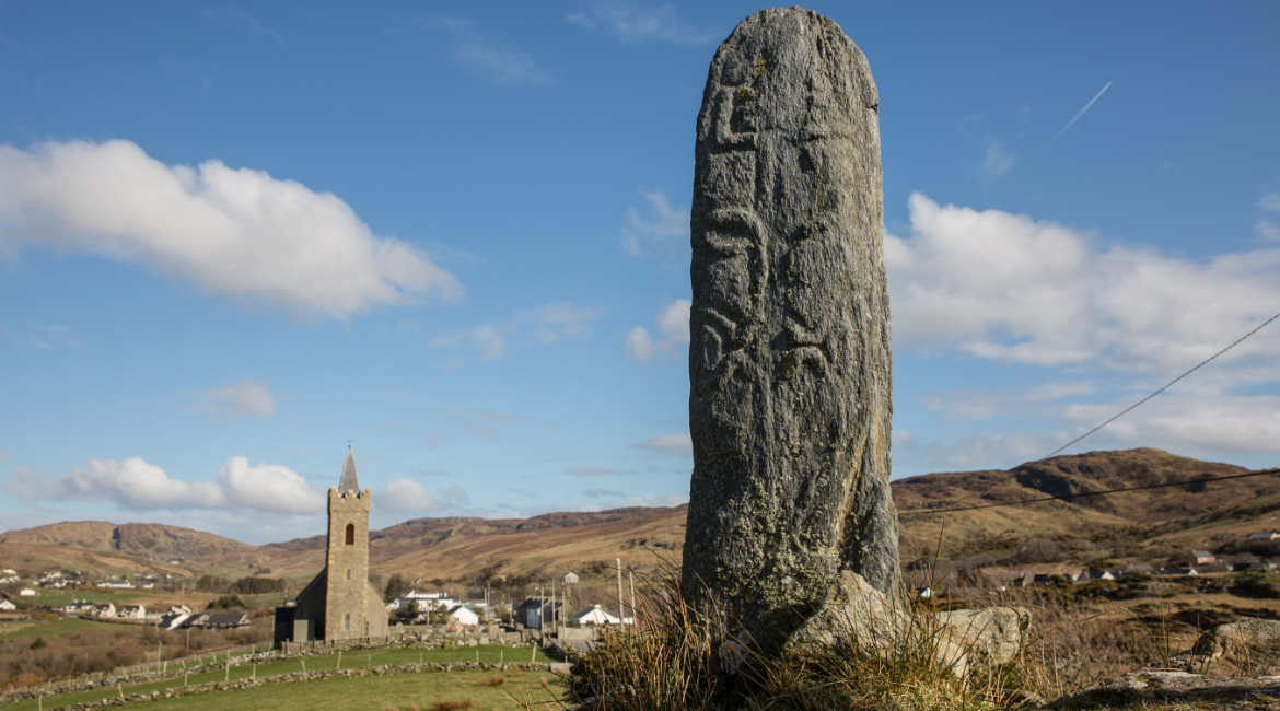
Add your own picture and explain the route, parking, gates, paths or landmarks that help people find it.
Earn 5 points after the picture is checked and accepted.
Add your photo and local directionsShare what you foundWhat is recorded here
A slab, upon which some loose stones have been heaped, covers St. Columbkille's well. It is about 20m from Columbkille's Lough in wet land. It is probably to be associated with a penitential station (DG025-028----) 40m to the S. Described by Ó Muirgheasa in 1936 as 'St. Colmcille's Well on the shore of Loch Colmcille at Kildarragh, half-way between Creeslough and Dunfanaghy. A few people still " walk " the turus on the 9th June, and the cairn of small stones on the hill above the well (Cnoc a' Chullin) testifies to the numbers who made the turus in ages past. No fish are found in this lake as Colmcille gave it a left-handed blessing because a fisherman there denied that he had any fish: the same story is told of Mulroy Bay' (Ó Muirgheasa 1936, 153). (Ó Muirgheasa No. 59).
The above description was derived from the 'Archaeological Survey of County Donegal. A description of the field antiquities of the County from the Mesolithic Period to the 17th century.' Compiled by: Brian Lacey with Eamon Cody, Claire Cotter, Judy Cuppage, Noel Dunne, Vincent Hurley, Celie O'Rahilly, Paul Walsh and Seán Ó Nualláin (Lifford: Donegal County Council, 1983). In certain instances the entries have been revised and updated.
Compiled by Caimin O'Brien
Date of upload/revision: 02 November 2011
The monument record does not grant public access. Check the route and ask the landowner before entering private land.