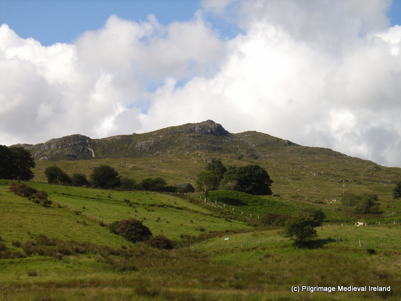
Add your own picture and explain the route, parking, gates, paths or landmarks that help people find it.
Earn 5 points after the picture is checked and accepted.
Add your photo and local directionsShare what you foundWhat is recorded here
This holy well is a stone-lined trough, rectangular in plan and measuring 1.25m by .5m and 0.75m deep. Behind it is a rough heap of stones at one end of which is a rough stone “altar”. Sited on sloping ground just above marshy land close to a stream to the S, which runs to the sea at Binanea Strand. Described by Ó Muirgheasa in 1936 as 'St. Colmcille's Holy Well at Arda beaga, near Gortahork. Stations used to be made on the 9th June. A half-perforated stone-hammer among the stones at the well is regarded with so much respect on account of its association with the well that no one would take it away' (Ó Muirgheasa 1936, 153). (Ó Muirgheasa No. 55).
The above description was derived from the 'Archaeological Survey of County Donegal. A description of the field antiquities of the County from the Mesolithic Period to the 17th century.' Compiled by: Brian Lacey with Eamon Cody, Claire Cotter, Judy Cuppage, Noel Dunne, Vincent Hurley, Celie O'Rahilly, Paul Walsh and Seán Ó Nualláin (Lifford: Donegal County Council, 1983). In certain instances the entries have been revised and updated.
Compiled by Caimin O'Brien
Date of upload/revision: 02 November 2011
The monument record does not grant public access. Check the route and ask the landowner before entering private land.