Add your own picture and explain the route, parking, gates, paths or landmarks that help people find it.
Earn 5 points after the picture is checked and accepted.
Add your photo and local directionsShare what you foundWhat is recorded here
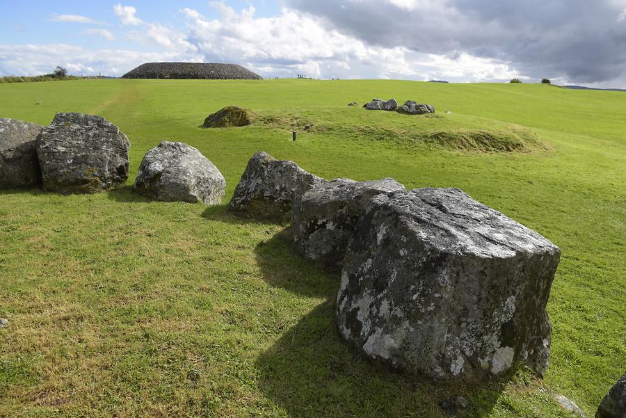
Internal diam. c. 66.5m, c. 43m. Irregularly shaped enclosure defined by a collapsed stone wall which follows the contour of the hill on which it is situated. There is no definite entrance but there are three gaps in the walls. One into the S and another to the N could be modern. The third occurs between two outcrops of natural rock on the SW side. There is a stone foundation outside the enclosure on this side and also two small rectangular ones which are probably sheep folds. It is situated on a small well-defined hill overlooking boggy open mountain terrain, with a commanding view, particularly to the N and S. There is a wedge tomb (DG020-011----) c. 20m to ESE at the base of the slope.
The above description was derived from the 'Archaeological Survey of County Donegal. A description of the field antiquities of the County from the Mesolithic Period to the 17th century.' Compiled by: Brian Lacey with Eamon Cody, Claire Cotter, Judy Cuppage, Noel Dunne, Vincent Hurley, Celie O'Rahilly, Paul Walsh and Seán Ó Nualláin (Lifford: Donegal County Council, 1983). In certain instances the entries have been revised and updated.
Attached images:
DG020-010----_01.JPG Hilltop enclosure viewed from S
DG020-010----_01.JPG Enclosing wall at NE
DG020-010----_01.JPG Gap mid-way along N wall
DG020-010----_01.JPG Prostrate boulder in NE quadrant of interior
Date of upload: 22 September 2008
The monument record does not grant public access. Check the route and ask the landowner before entering private land.