Add your own picture and explain the route, parking, gates, paths or landmarks that help people find it.
Earn 5 points after the picture is checked and accepted.
Add your photo and local directionsShare what you foundWhat is recorded here
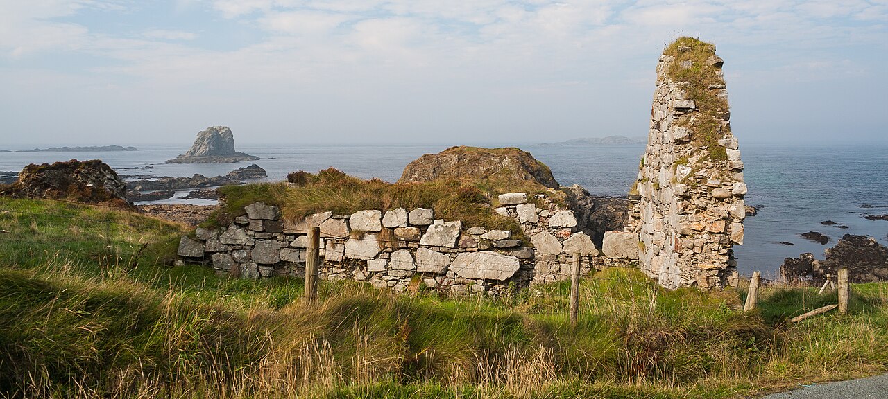
The ruins of a simple church, 11.7m × 4.25m internally, stand by the shore at the base of a cliff on the N side of Malin Head. Built of split-stone rubble and some boulders, with pinnings, only the N, E and S walls survive. The SE quoin has completely fallen away. The E gable stands almost to original height. The central narrow window has widely splayed ingoings and is lintelled; the jambs and sill are missing. The N wall survives to a height of 2.3m and is featureless. The S wall is 2.5m high and has the remains of a narrow window with widely splayed ingoings at its E end. The jambs, sill and most of the E ingoing have fallen away. There is a wall-press, its E opening now ruined, set lengthways into the thickness of the wall below this window. The church door was probably in the W gable but only the footings of the N section of the wall survive. Traces of plaster are visible on the interior of the church and patches of the exterior rendering survive. The footings of an altar and other structures are discernible among the fallen masonry at the E end of the church. A rude face carved on the top stone of the corner between the S wall and the E gable (DA 1953-4, 503), is now in the National Museum of Ireland (Reg. No. 1972:5). This consists of a rectangular block of stone, all four sides of which are dressed. On one end there is a broad D-shaped projection on which is incised a human face, the eyes, nose and mouth of which are represented by deep grooves. The block is .41m × 0.26m × 0.25m. The site is said to be associated with St. Morialagh of Clonca (Rowan 1979, 418) but the surviving church remains are probably medieval. To the SW of the church is a rock-cut cave (DG002-002003-), known as the 'Wee House of Malin'. It is 1.3m across the opening which has been partly built up with stones allegedly from the church. It is 2.75m deep and 2.25m high. To the E of the church along the shore is a holy well (DG002-003-).
The above description was derived from the 'Archaeological Survey of County Donegal. A description of the field antiquities of the County from the Mesolithic Period to the 17th century.' Compiled by: Brian Lacey with Eamon Cody, Claire Cotter, Judy Cuppage, Noel Dunne, Vincent Hurley, Celie O'Rahilly, Paul Walsh and Seán Ó Nualláin (Lifford: Donegal County Council, 1983). In certain instances the entries have been revised and updated.
Date of upload: 22 September 2008
The monument record does not grant public access. Check the route and ask the landowner before entering private land.