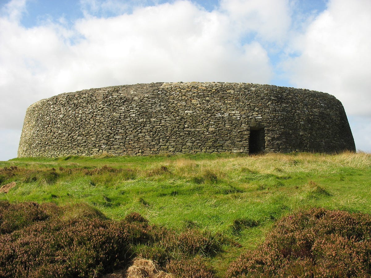
Add your own picture and explain the route, parking, gates, paths or landmarks that help people find it.
Earn 5 points after the picture is checked and accepted.
Add your photo and local directionsShare what you foundWhat is recorded here
The following description is derived from the published 'Archaeological Inventory of County Carlow' (Dublin: Stationery Office, 1993). In certain instances the entries have been revised and updated in the light of recent research.
Date of upload/revision: 17 July 2007
Subcircular area on summit of hill enclosed by double bank with intervening ditch, best preserved at SE, elsewhere defined by scarp lying outside modern field wall (max. H of scarp at WNW 3m; W-S graded and reseeded; not visible at NE). Berm at top of scarp is flat (Wth c. 2.5m). Level berm also exists in places at foot of scarp. Interior has been graded. Slight lynchet has formed upslope of field wall giving impression of slight scarp and bank. (max. dims. c 267m NW-SE x 225m NE-SW, max. Wth of double bank c 13m.) (Carloviana 1986, 8-9)
The monument record does not grant public access. Check the route and ask the landowner before entering private land.