Add your own picture and explain the route, parking, gates, paths or landmarks that help people find it.
Earn 5 points after the picture is checked and accepted.
Add your photo and local directionsShare what you foundWhat is recorded here
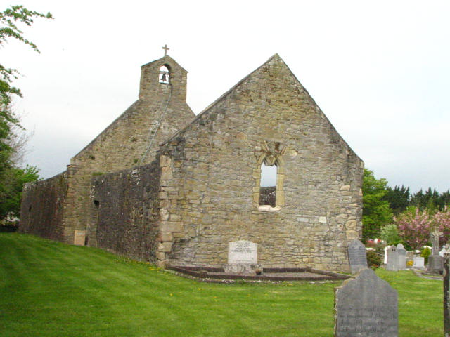
Irregular-shaped graveyard (map dims. NE-SW varies, being widest at the W end c. 46m, narrow in the centre c. 33m and broadens towards the E end c. 38m; c. 100m NW-SE). A church (CW015-021001-) is located in the SW sector of the graveyard.
Compiled by: Jean Farrelly
Date of upload: 19 August 2011
The monument record does not grant public access. Check the route and ask the landowner before entering private land.