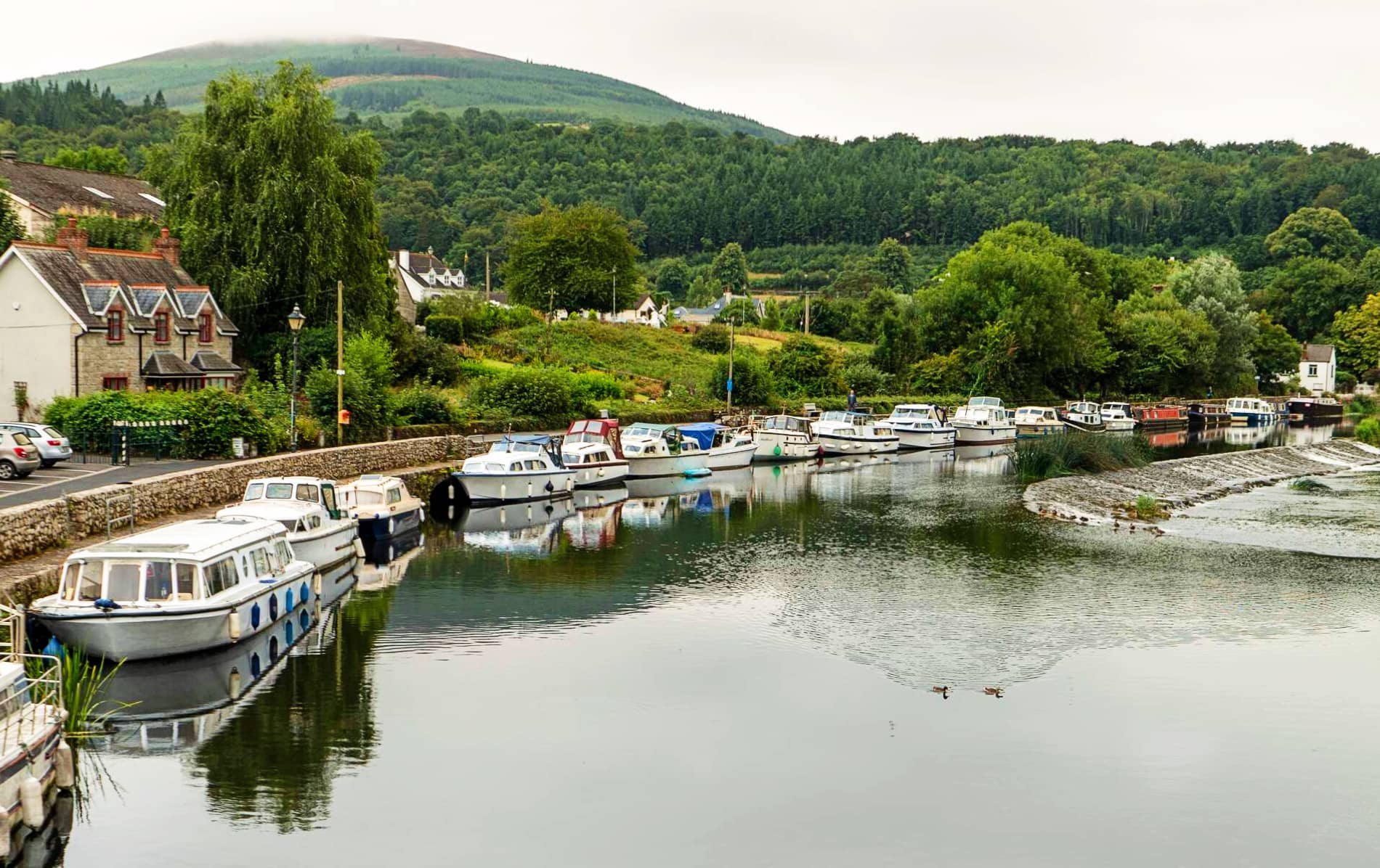
Add your own picture and explain the route, parking, gates, paths or landmarks that help people find it.
Earn 5 points after the picture is checked and accepted.
Add your photo and local directionsShare what you foundWhat is recorded here
In tillage. A large circular enclosure (overall diam. c. 170m) defined by a fosse, visible on satellite imagery (Google Earth satellite image, imagery date 25 June 2018), identified and reported by Jean-Charles Caillère. On the 1st (c. 1840) ed. OS 6-inch map it is depicted as a largely curvilinear field defined by a field boundary, except on the E side where the field boundary to the N and S turns ESE and runs into the adjacent townland boundary. On this map the field is shown surrounded by marshy terrain which suggests the field is somewhat higher and forms an island of dry ground. The field boundary is visible as a cropmark on satellite imagery (Google Earth imagery date 25 June 2018). On another satellite image (Digitalglobe satellite imagery, imagery date 2011-13) the enclosure appears to extend slightly beyond the limit of the field boundary and appears to be defined by a bank.
See attached:
CW007-183----_01 Google Earth satellite image (imagery date 25 June 2018), with LiDAR insert (GSI Open Topographic Data Viewer)
CW007-183----_02 Google Earth satellite image (imagery date 9 February 2018)
CW007-183----_03 Google Earth satellite image (imagery date 28 March 2019)
CW007-183----_04 Digitalglobe satellite image (imagery date 2011-13)
Compiled by: Jean Farrelly
Date of upload: 22 February 2022
The monument record does not grant public access. Check the route and ask the landowner before entering private land.