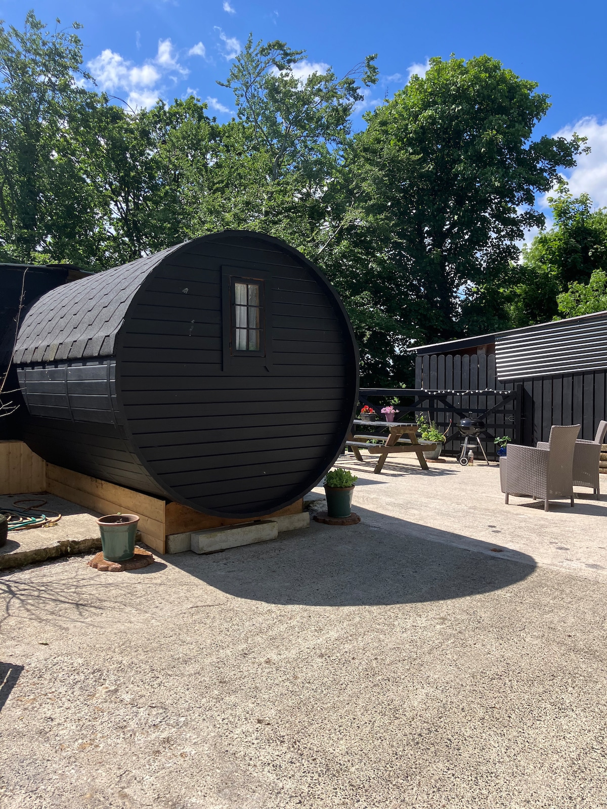
Add your own picture and explain the route, parking, gates, paths or landmarks that help people find it.
Earn 5 points after the picture is checked and accepted.
Add your photo and local directionsShare what you foundWhat is recorded here
A stream flows roughly N-S c. 40m to the W of the enclosure, with a roughly parallel meander E of the stream, flowing c. 25m to the W of the enclosure, both visible as cropmarks. In tillage. A roughly irregular pentagonal enclosure (overall diam. c. 56m NE-SW; c. 45m NW-SE) defined by a fosse, visible on satellite imagery (OS Ortho, Aerial Premium 2013-2018), identified and reported by Jean-Charles Caillère. The M9 motorway, including road-take, runs NE-SW c. 10m to the SE. An Early Bronze Age cremation pit (CW017-145----) and an Iron Age metalworking site (CW007-116----), c. 40m to the S and SE respectively, were excavated during the construction of the motorway.
See attached:
CW007-182----_02 OS Ortho, Aerial Premium 2013-2018
Compiled by: Jean Farrelly
Date of upload: 22 February 2022
The monument record does not grant public access. Check the route and ask the landowner before entering private land.