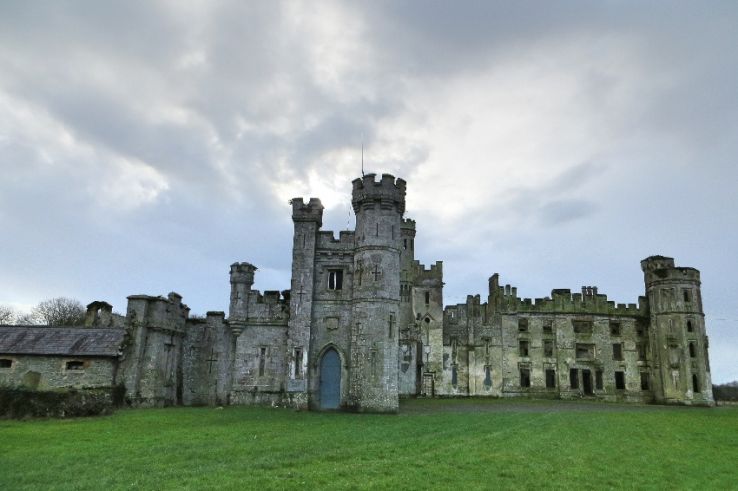
Add your own picture and explain the route, parking, gates, paths or landmarks that help people find it.
Earn 5 points after the picture is checked and accepted.
Add your photo and local directionsShare what you foundWhat is recorded here
Aerial photograph (GB90.CL.14, 26 July 1990) show cropmarks of a large rectilinear enclosure defined by a fosse and located due west of the graveyard. A curved fosse, probably part of an ecclesiastical enclosure surrounding the medieval church, intersects with the rectilinear enclosure; they are therefore not contemporaneous.
Compiled by: Dr Gillian Barrett for the Archaeological Survey of Ireland.
Date of upload: 29 March 2010
The monument record does not grant public access. Check the route and ask the landowner before entering private land.