Add your own picture and explain the route, parking, gates, paths or landmarks that help people find it.
Earn 5 points after the picture is checked and accepted.
Add your photo and local directionsShare what you foundWhat is recorded here
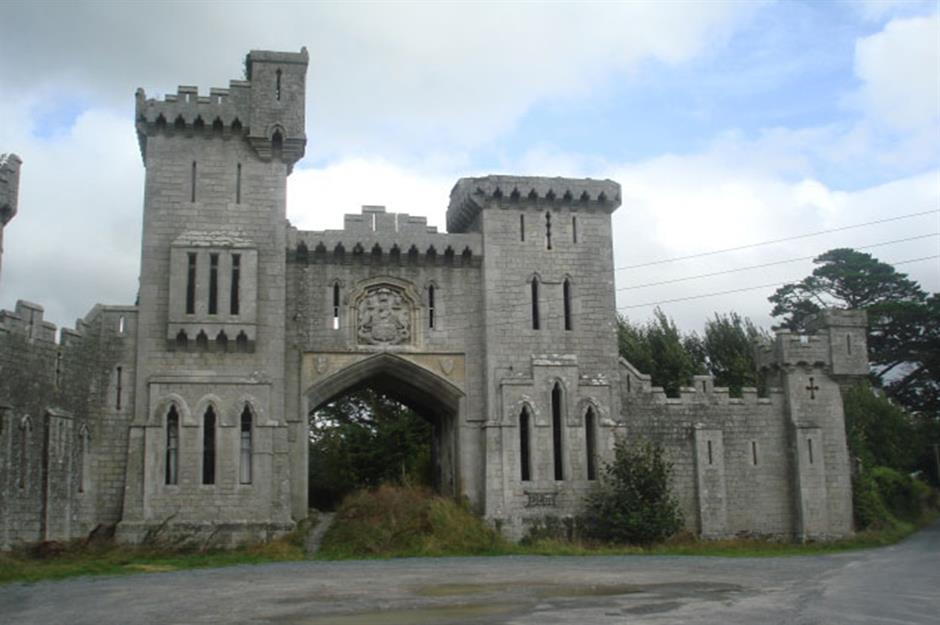
Located in a relatively level location (c. 88m OD) in a very gently undulating landscape now characterised by tillage and pastoral farming but formerly within the parkland demesne of Duckett’s Grove House\Castle. Sited towards the SE boundary of a field currently in use for tillage purposes (August 2022) with SE end partially truncated by the later field boundary. Located c. 1040m SW of the roofless shell of Duckett’s Grove House Castle (NIAH Reg. No. 10300305), and towards the SW end of the historic demesne associated with same (Ordnance Survey first ed. six-inch map sheet c. 1840), and c. 860 W\WNW of a moated site (CW003-011----) at Friarstown. This enclosure is clearly visible as a cropmark on Google Earth aerial photograph of the site (August 2022). It consists of a circular feature (ext. dims c. 63.3m N-S x 64.3m E-W) that is defined by a continuous ditch (Wth c. 2.3-c. 2.7m) that is largely visible around the entire circuit of the site on the above imagery apart from the NE quadrant (August 2022). A portion of the SE quadrant of the arc of the enclosure has been truncated by a later field boundary and this end of the enclosure may survive in the field adjacent to the E (not visible on August 2022 imagery). No definitive evidence for an entrance gap.
Compiled by: T.J. O'Meara based on details provided by Jean-Charles Caillère
Uploaded on: 12/07/2023
See attached:
CW003-043----_01 Google Earth Aerial\Satellite Imagery (date: 11/08/2022)
The monument record does not grant public access. Check the route and ask the landowner before entering private land.