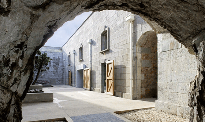
Add your own picture and explain the route, parking, gates, paths or landmarks that help people find it.
Earn 5 points after the picture is checked and accepted.
Add your photo and local directionsShare what you foundWhat is recorded here
Aerial photographs (GB89.AG.21; GB20.GL.24) show cropmark of a circular enclosure defined by fosse.
Bibliography
Barrett, G.F. 'Early landscapes in County Carlow: an aerial perspective, in T. McGrath and T. O'Keefe (eds), County Carlow: History and Society, Geography Publications, Dublin. Forthcoming 2008.
Barrett, G.F. (1999) 'Relevé aérien d'archéologie en Irlande, in Archeologie Aerienne: Actes du colloque du festival international d'archéologie d'Amiens. Revue archaeologie de Picardie special 17/1999. APPAH Ministère de la culture, Amiens et de l'Université de Picardie, pp. 245-52. ISSN 0752-5656 .
Barrett, G.F. (1996) 'Archaeological air survey in County Carlow: discovery and destruction' Carloviana, 44, pp. 16-22.
Barrett, G.F. (1995) 'Recovering the hidden archaeology of Ireland: the impact of aerial survey in the River Barrow valley, 1989-91” in O. Braasch, and G. Wetzel, G. (eds), Aerial Archaeology in eastern and central Europe, 45-59, Proceedings of the Kleinmachnow conference, Brandenburg Museum, Potsdam, pp.45-59. ISBN 3-910011-08-X.
Compiled by: Dr. Gillian Barrett for the Archaeological Survey of Ireland.
Date of revision: 14 March 2012
The monument record does not grant public access. Check the route and ask the landowner before entering private land.