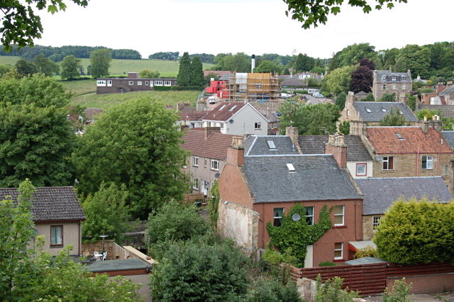
Add your own picture and explain the route, parking, gates, paths or landmarks that help people find it.
Earn 5 points after the picture is checked and accepted.
Add your photo and local directionsShare what you foundWhat is recorded here
Situated on a small promontory jutting into Lough Ramor and cut off from the mainland by a substantial external bank and wide, deep fosse curving from NE-E-SE. The motte is situated in the SE of the enclosed area. It comprises a high, steep-sided, and flat-topped circular earthen mound (diam. of base c. 28m; H 4-5m). The summit of the mound is also circular (diam. c. 12m N-S). A shallow fosse to the NE of the motte separates it from the bailey which itself comprises two courts separated by a low stone wall. The outer court adjoins a rectangular depression which may have been a slipway for boats. No trace of any buildings within bailey. (Davies 1947a, 78)
The above description is derived from the published 'Archaeological Inventory of County Cavan' (Dublin: Stationery Office, 1995). In certain instances the entries have been revised and updated in the light of recent research.
Date of upload/revision: 22 December 2008
The monument record does not grant public access. Check the route and ask the landowner before entering private land.