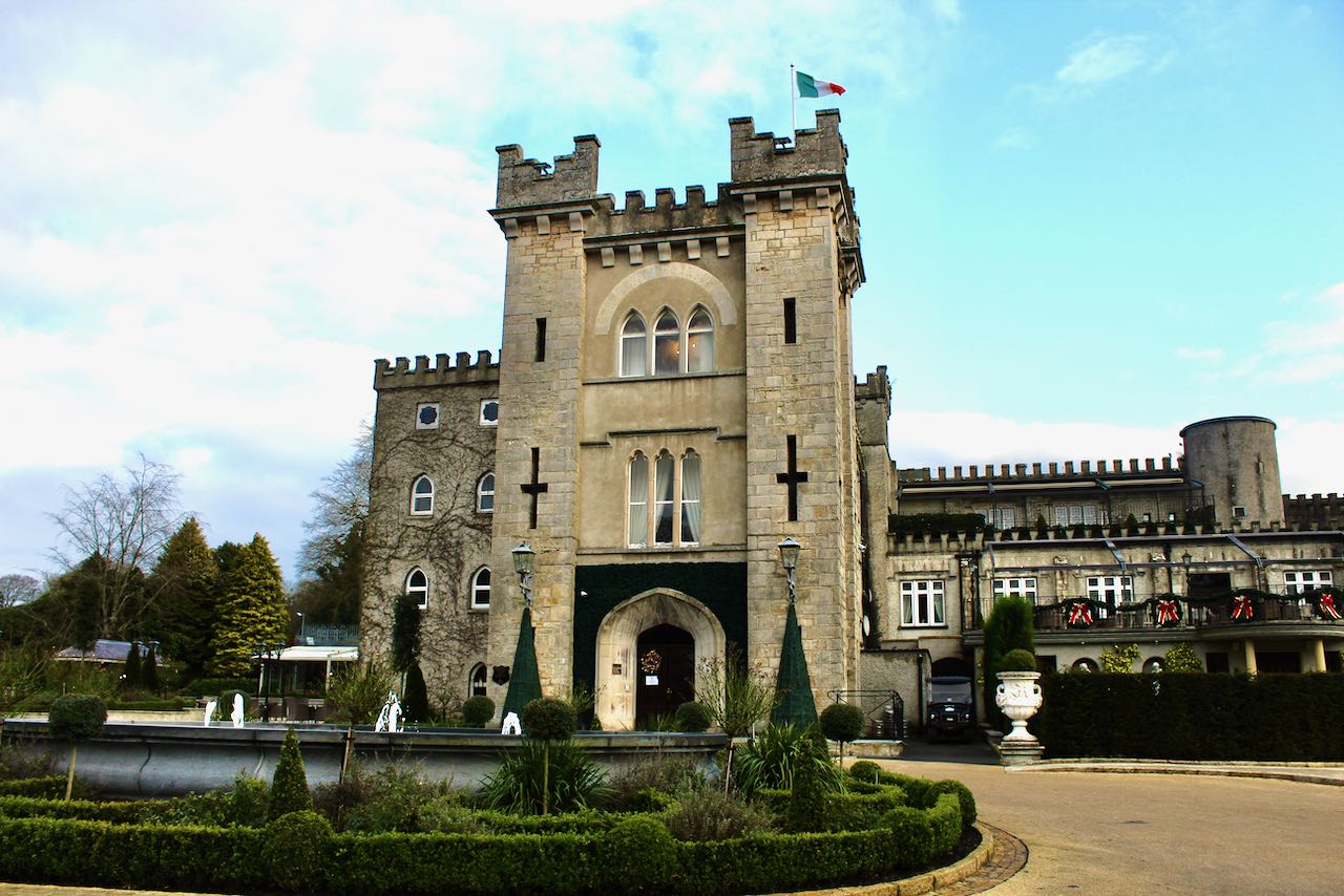
Add your own picture and explain the route, parking, gates, paths or landmarks that help people find it.
Earn 5 points after the picture is checked and accepted.
Add your photo and local directionsShare what you foundWhat is recorded here
An O'Reilly castle built in the 16th century, reoccupied in the 17th century and according to legend finally destroyed by Cromwell (ITA Survey 1942). Also known as Castle Carrick, it was formerly situated on a low plateau of rock on S bank of Annalee River. A keep once stood here on a mound (H 1.8m) and was surrounded by a roughly rectangular bawn (53m x 32m) with projecting towers at SE and SW corners on landward side. Rock-cut fosses featured on its E (Wth c. 4.2m) and W (Wth c. 5.1m) sides and a narrower and more shallow fosse on S side, where entrance is likely to have been. Bawn rose c. 1.6m above fosses and level of river. No visible remains at ground level. (Davies 1947a, 99-100; Wilsdon 2010, 175-9)
The above description is derived from the published 'Archaeological Inventory of County Cavan' (Dublin: Stationery Office, 1995). In certain instances the entries have been revised and updated in the light of recent research.
Date of upload/revision: 22 December 2008
The monument record does not grant public access. Check the route and ask the landowner before entering private land.