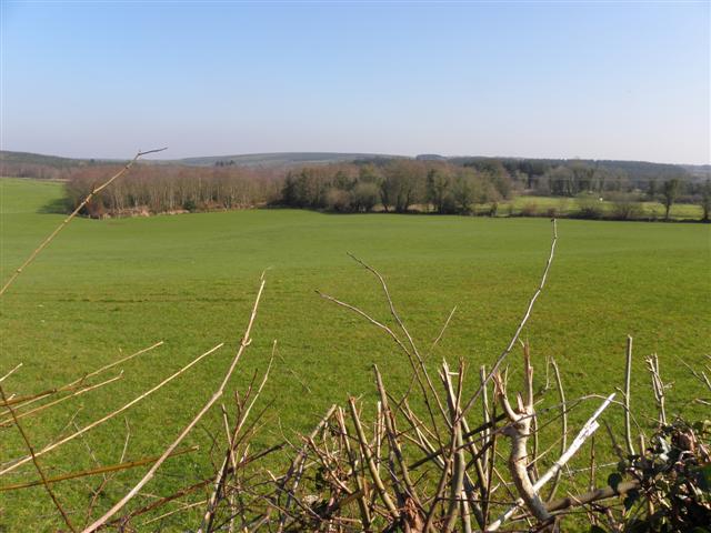
Add your own picture and explain the route, parking, gates, paths or landmarks that help people find it.
Earn 5 points after the picture is checked and accepted.
Add your photo and local directionsShare what you foundWhat is recorded here
'The site is identified as a large sub-rectangular enclosure which is bounded from the east through to the west by a substantial curving drystone wall, from the west to the north by steep limestone crag and from the north to the east by a sheer limestone cliff. The interior of the site slopes gently to the west and displays no notable features, though it it now planted with mature forest. The internal area of the site measures 27m NW-SE and 23m SW-NE. The enclosing wall has partly collapsed and has some mature conifers growing on it, but is still stands up to 1.5m high and the outer façade is visible in a number of sections. The wall is built with both sandstone blocks and flags of limestone karst and would appear to have been 3m to 4.5m wide originally. A shallow S-W depression immediately outside the wall may represent a fosse and a small number of peat-covered stones outside this would appear to be the remains of an outer wall. A number of large stones, probably the remains of a wall were noted at the western end of the top of the nortfhwestern crag and there was limited evidence for a small wall on the top of the northeastern cliff also. The western part of the site has, however been affected by tree-fall in recent times and this may have significantly affected the evidence for a wall along the northwestern crag. The stepped northwestern crag and the sheer northeastern cliff are between 4m and 15m high. (Sherlock 2007, 95)
Date of upload: 20 January 2020
The monument record does not grant public access. Check the route and ask the landowner before entering private land.