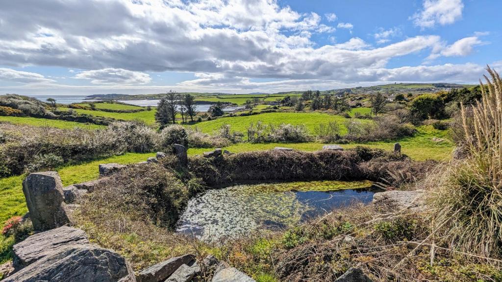
Add your own picture and explain the route, parking, gates, paths or landmarks that help people find it.
Earn 5 points after the picture is checked and accepted.
Add your photo and local directionsShare what you foundWhat is recorded here
In a letter to Dr A. Mahr, NMI, dated 6 November 1933, Mr Patrick Burke of Cape Clear island reported two openings to a souterrain in the same field as a boulder burial (CO153-011----) (NMI file). Mr Burke related that workmen had discovered the stone-built souterrain when removing stones from the corner of the field. An opening (Wth 0.9-1.2m) allowed the men to see into the souterrain. There was another similar opening elsewhere in the field. The precise location of this souterrain is not known. (McCarthy 1977, 255).
The above description is derived from 'The Archaeological Inventory of County Cork. Volume 5' (Dublin: Stationery Office, 2009).
Date of upload: 22 December 2009
The monument record does not grant public access. Check the route and ask the landowner before entering private land.
The map shows only the centre of the wider government map area. The government record does not identify the exact monument point.