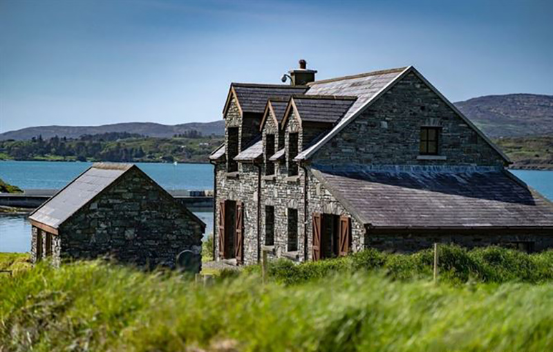
Add your own picture and explain the route, parking, gates, paths or landmarks that help people find it.
Earn 5 points after the picture is checked and accepted.
Add your photo and local directionsShare what you foundWhat is recorded here
In rough grazing, on N-facing slope between two ridges running c. E-W, one of rock outcrop. Oval area (24.5m E-W; 12m N-S) defined by rough line ofwalling (H c. 0.3m) to N and E; interior cut into hillslope on S side, forming scarp (H 1.3m), walling runs along top of scarp SE->S and SSW->SW; low bank of stones to W. Break in wall to NE (Wth 2.4m). Immediately inside W bank are two upright parallel stones (H 0.32m; 0.58m x 0.07m: H 0.5m; 0.54m x 0.12m) 0.71m apart and aligned NE-SW. Third upright stone (H 0.31m; 0.47m x 0.11m) 0.2m to E of most northerly parallel is aligned ENE-WSW. Fourth stone (H 0.84m; 0.5m x 0.21m) lies 5.18m S of last and is aligned N-S. Interior heavily overgrown with ferns; S half slopes gently to N.
The above description is derived from the published 'Archaeological Inventory of County Cork. Volume 1: West Cork' (Dublin: Stationery Office, 1992). In certain instances the entries have been revised and updated in the light of recent research.
Date of upload/revision: 14 January 2009
The monument record does not grant public access. Check the route and ask the landowner before entering private land.