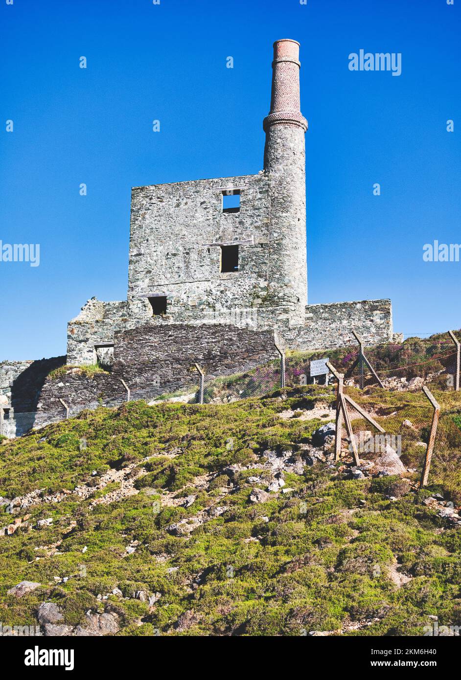
Add your own picture and explain the route, parking, gates, paths or landmarks that help people find it.
Earn 5 points after the picture is checked and accepted.
Add your photo and local directionsShare what you foundWhat is recorded here
At the base of a near vertical W-facing rock-face that forms the E side of a small valley. The mine consists of a single horizontal working, driven at an angle of 275 degrees into the rock-face. The overall length of the working is 5.06m. The entrance (Wth 0.4-1.8m) has an irregular profile with the side-walls steeply dipping to the N. The side and back walls have a fire-worked appearance and several well-developed concavities are indications of fire-setting. Pecking-marks, possibly the result of pounding by stone hammers are visible on the entrance brow and on the N side-wall. The interior is level and dry with a loose rubble surface. There are no obvious indications of mine spoil outside the mine entrance. Excavation in 2000 (O'Brien 2002, 41) revealed several layers of mine spoil sediment containing stone hammers and charcoal. A charcoal sample yielded a radiocarbon date of 3520±50BP (GrN-25928) (O'Brien 2003, 46). This mine is an example of a 'Mount Gabriel-type' copper mine, where fire-setting and stone hammer technology was used to extract low-grade copper ore from sedimentary 'copper-beds' (ibid.). O'Brien suggests that, given its small size, this mine was probably worked over a period of several months in a particular year, rather than over several years (ibid.). (O'Brien 2002; 2003)
The above description is derived from 'The Archaeological Inventory of County Cork. Volume 5' (Dublin: Stationery Office, 2009).
Date of upload: 22 December 2009
The monument record does not grant public access. Check the route and ask the landowner before entering private land.