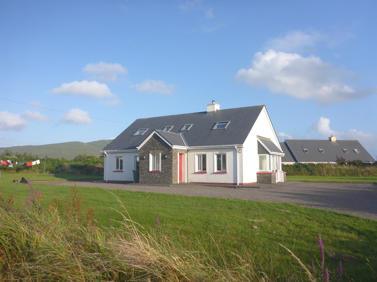
Add your own picture and explain the route, parking, gates, paths or landmarks that help people find it.
Earn 5 points after the picture is checked and accepted.
Add your photo and local directionsShare what you foundWhat is recorded here
In rough pasture, on a rocky hillock with restricted views. Described in 1994 as a rectangular area (15m E-W; 10m N-S) defined by an earthen bank with rounded corners and a possible entrance at SW; a more recent opening at NW leads to a ramp (pers. comm. Georg Dose). When inspected, the area had recently been reclaimed and the resulting earth and scrub dumped as mounds along the edge of the hillock. The enclosure is not visible at ground level, apart from traces of the ramp which exist on the downslope at NW. The levelled-off surfaces and the mounds are now overgrown with long grass and bushes.
The above description is derived from 'The Archaeological Inventory of County Cork. Volume 5' (Dublin: Stationery Office, 2009).
Date of upload: 22 December 2009
The monument record does not grant public access. Check the route and ask the landowner before entering private land.