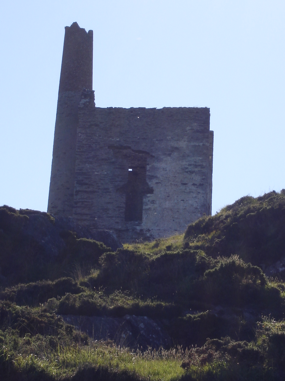
Add your own picture and explain the route, parking, gates, paths or landmarks that help people find it.
Earn 5 points after the picture is checked and accepted.
Add your photo and local directionsShare what you foundWhat is recorded here
N of the Rathcool-Mt. Gabriel townland boundary; on E-slope of mountain, c. 95m WNW of another mine (CO139-059----). It is one of 31 copper mines belonging to Mount Gabriel Prehistoric mining complex (CO139-026001-). Though surveyed by Duffy in 1929 (unpublished field sheets, Geological Survey of Ireland), it was not included in subsequent surveys (Jackson 1968). It consists in a large inclined working driven 225° into a low N-facing rock scarp. On inspection in 1984, a substantial rubble floor deposit was revealed inside, with flooding near the back wall. The interior was accessible to a depth of c. 5m, though the backwall was not exposed. From the entrance (Wth c. 5m; H c.1m), the interior narrowed towards the back wall (Wth 2.5m; H 0.8m), with the hanging wall displaying smooth concave surfaces that suggested fire-setting. Access into the mine was from the E side of the entrance, where thin stone slabs were set in an upright position. Above the entrance brow was a low spoil dump (3m N-S; H 0.5m), while a second dump (5m N-S; H c.1m) was located outside the entrance to the N. A stone maul was discovered immediately E of the mine, downslope, where further spoil dumps are likely be located (O'Brien 1987, and 1994, 357-8 and 359-60: mine 30)
This is a National Monument in State Care.
The above description is derived from the published 'Archaeological Inventory of County Cork. Volume 1: West Cork' (Dublin: Stationery Office, 1992) and William O’Brien’s monograph ‘Mount Gabriel, Bronze Age mining in Ireland’ (Galway: Galway University Press, 1994).
Images attached:
CO139-026011-_01: Site of mine (in O'Brien 1994, 359)
CO139-026011-_02: Interior of mine (in O'Brien 1994, 360)
Date of upload/revision: 14 January 2009
The monument record does not grant public access. Check the route and ask the landowner before entering private land.