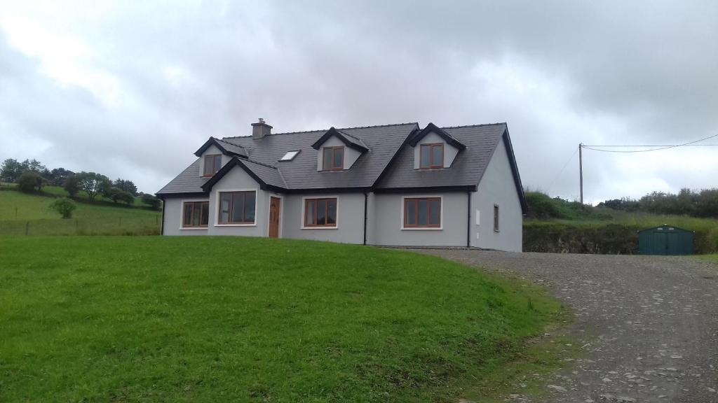
Add your own picture and explain the route, parking, gates, paths or landmarks that help people find it.
Earn 5 points after the picture is checked and accepted.
Add your photo and local directionsShare what you foundWhat is recorded here
On a rise, on a terrace of rough grazing on bog, on a N-facing hillslope. An oval area (23m WSW-ENE; 18m NNW-SSE) is enclosed by leaning and largely collapsed stone slabs (up to 2m x 1m x 0.15m T) displaying traces of a wall (Wth 1.5m) consisting of an inner and outer row of contiguous slabs SW-NW. Elsewhere, a scarp (H 0.1-1m) with occasional stone inclusions indicates the perimeter. The interior, which is in pasture, is slightly uneven and contrasts with the otherwise moor-grass/heather-covered hillside. There are field boundaries (CO119-105----) c. 50m to the S.
Myler (1998, 108) noted that 'there is an inner raised area in the western half (of the enclosure), partly defined by stones. At the lowest eastern point is a possible entrance, which opens out radially into an area of flat dry ground marked out with low stones. There is a small cairn of stones 15 yards east of the enclosure in this area...there were until recently three small standing stones in a line 35 yards to the south-east beside a boggy stream'.
The above description is derived from 'The Archaeological Inventory of County Cork. Volume 5' (Dublin: Stationery Office, 2009).
Date of upload: 29 January 2013
The monument record does not grant public access. Check the route and ask the landowner before entering private land.