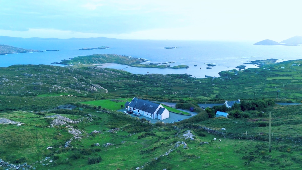
Add your own picture and explain the route, parking, gates, paths or landmarks that help people find it.
Earn 5 points after the picture is checked and accepted.
Add your photo and local directionsShare what you foundWhat is recorded here
This souterrain is published in Myler, D. (1998) An Archaeological Survey of the Mealagh Valley. Mealagh Valley Community Development Association, 119-120. here it is described as 'located high on a steep north facing slope commanding a fine view over Bantry Bay to the north-west. The entrance to the souterrain was filled with stones in recent years to stop animals entering it. It now appears as an overgrown cairn of stones measuring approximately 10 ft E-W, 20 ft. N-S and 3 ft. high.'
Compiled by: Denis Power
Date of upload: 2 May 2013
The monument record does not grant public access. Check the route and ask the landowner before entering private land.